Last Updated on February 22, 2024 by Grant
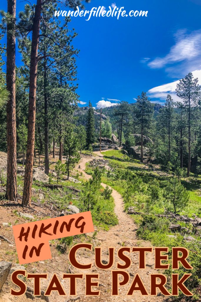
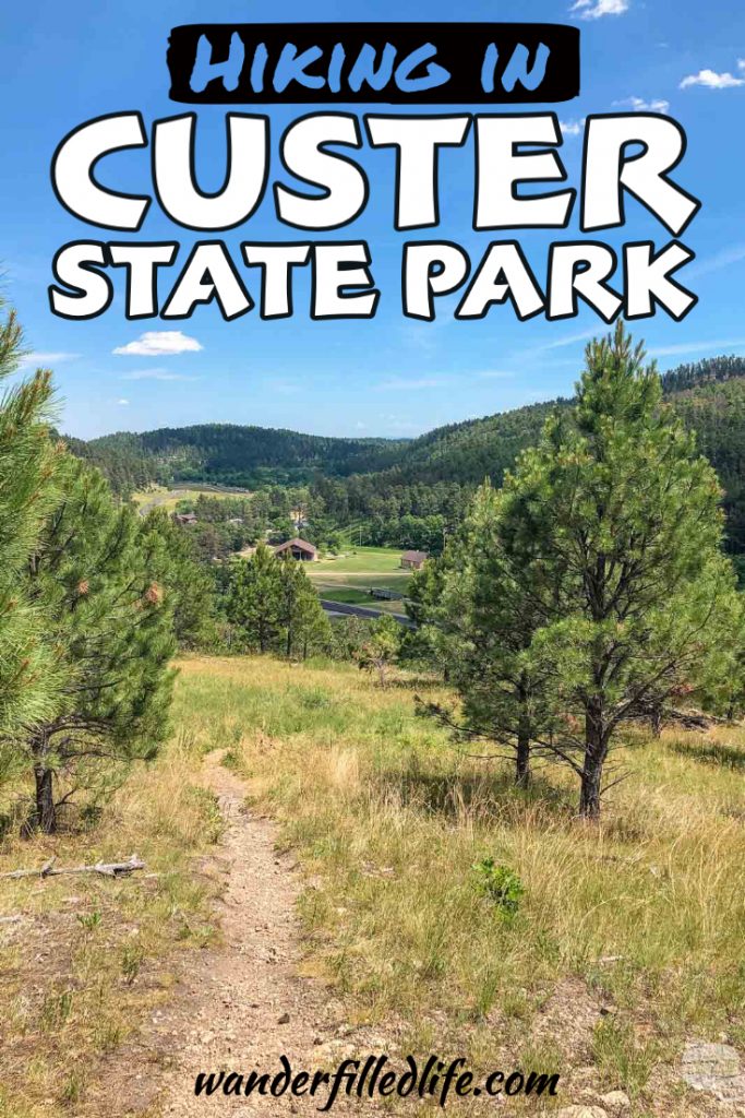
Custer State Park is most known for its amazing wildlife (home to the second-largest public bison herd) and its stunning scenery (the Needles Highway). But it is also the perfect place to get out on the trail and there are plenty of great hikes in Custer State Park.
We have been to Custer SP several times and gotten in some great hiking on most of our visits. From the Ponderosa pines of the Black Hills on the north end of the park to the open prairie to the south, you will find truly beautiful vistas regardless of which direction you choose to go.
All that said, the one thing you can’t ignore is the opportunity to see wildlife out on the trail in this park. Custer State Park is home to bison, pronghorn antelope, bighorn sheep, mountain goats and the famous burros.
Read more about Custer State Park here.
(Disclaimer: When we link to places where you can buy our stuff or places we stayed, we are using special codes that earn us commissions on the sales at no additional cost to you. Please see our Review Policy for more information.)
Safety tips for Hiking in Custer State Park
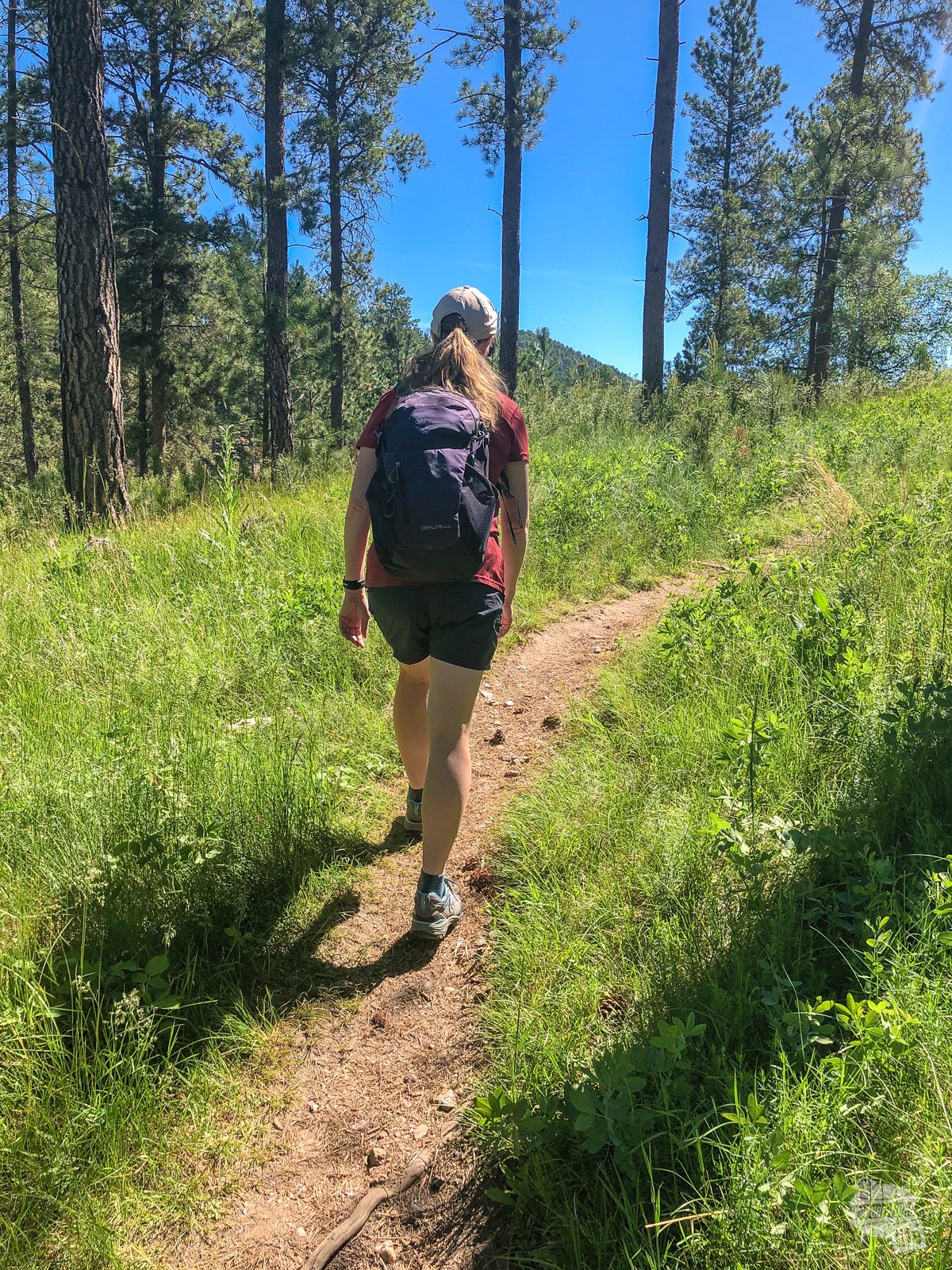
While you will have decent cell phone service throughout most of the park, there are quite a few spots on the trails where you won’t have service at all. Many of the trails are well-trafficked but we are firm believers that you should be able to handle any emergencies with your own gear.
You will find us carrying our packs with us on all but the shortest hikes. That’s because we use CamelBaks to carry our water and we don’t like to be without water on our hikes. Since we have our packs, we always have our 10 essentials with us, which is a plus!
Check out our 10 essentials for hiking here.
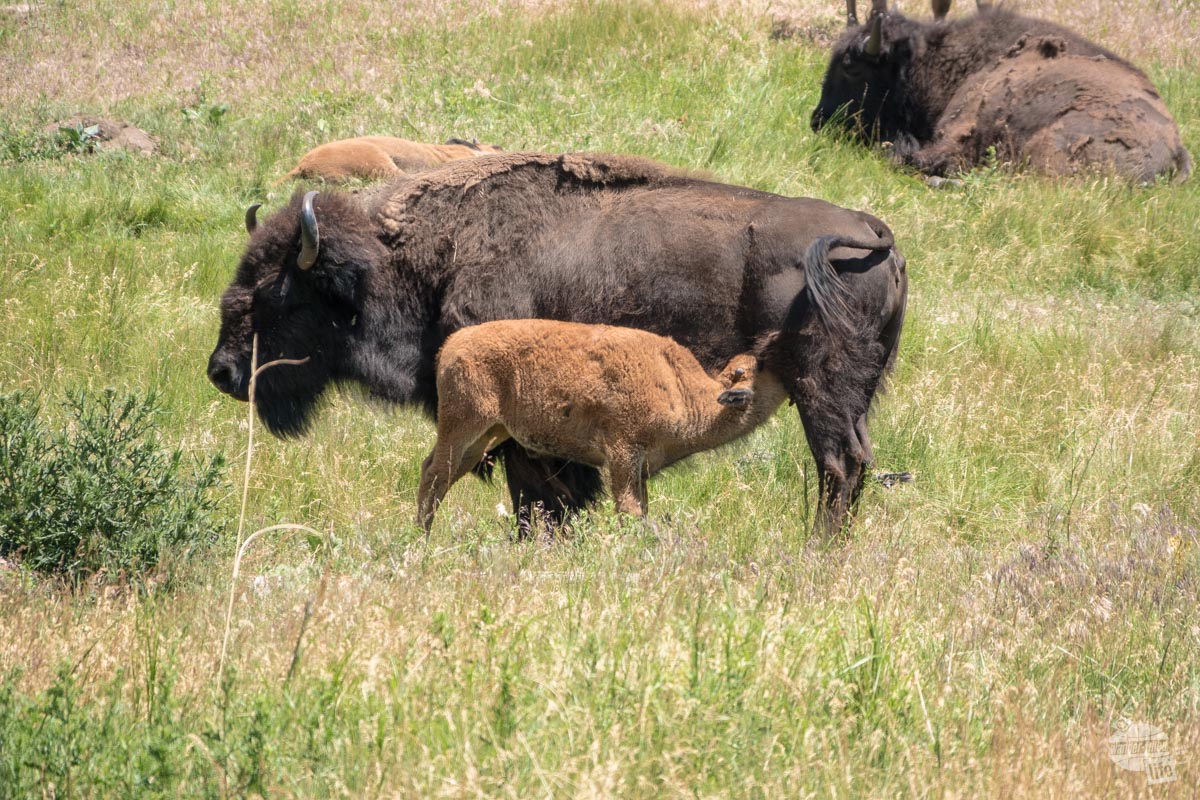
Just be careful when it comes to wildlife. While they appear used to humans, the bison, especially, can be erratic. We learned the hard way recently in North Dakota that even staying a safe distance doesn’t mean the bison will ignore you. You will find most of the bison on the south side of the park but we have seen them by the visitor center on the north side of the park as well.
Lastly, if you are doing any of the longer hikes, take a map with you or download a map onto your phone with the AllTrails app.
Easy Hikes in Custer State Park
If you are looking for short and/or easy hikes in Custer State Park, there are several to choose from. These won’t take much time or skill, though some do have a decent incline.
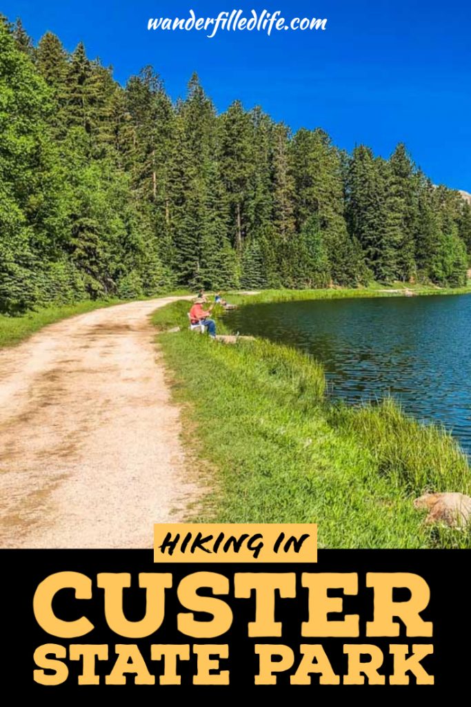
Stockade Lake Trail
1.4 miles | 413 foot elevation gain
This trail is located on the east side of Stockade Lake and takes off up a hill overlooking the lake. It is a nice loop through the woods.
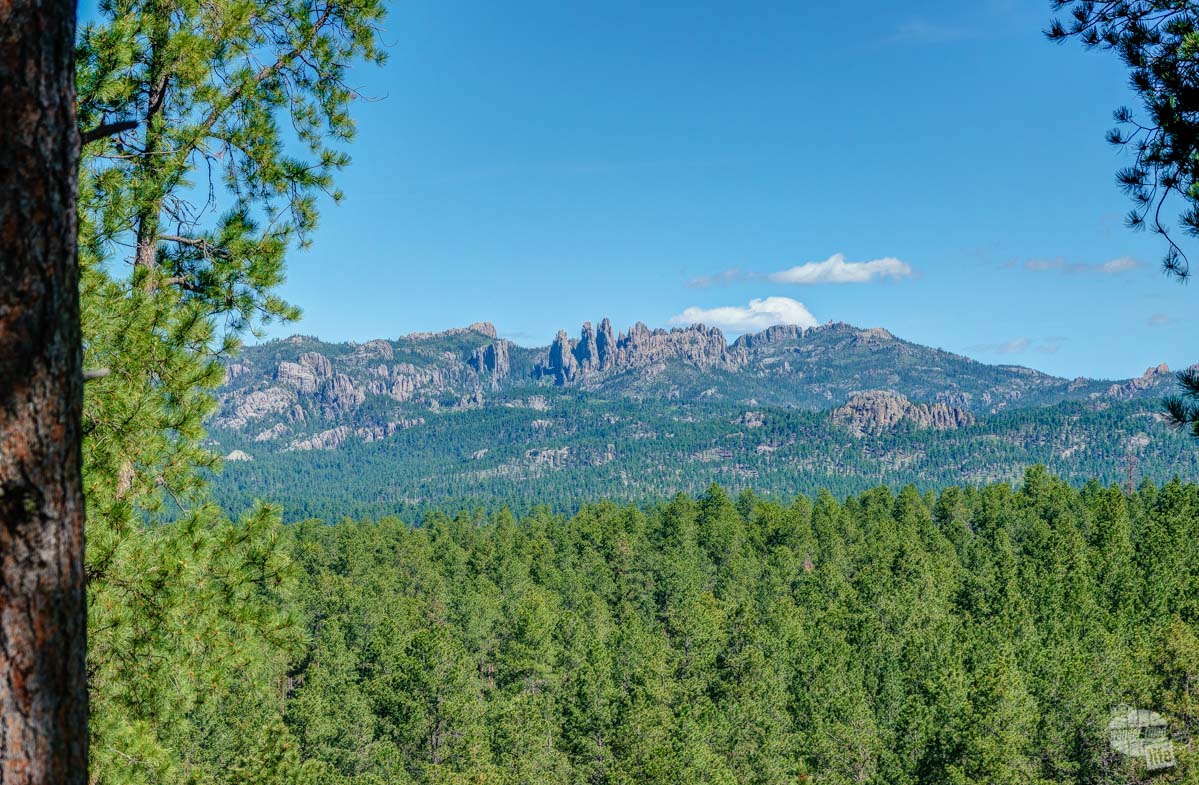
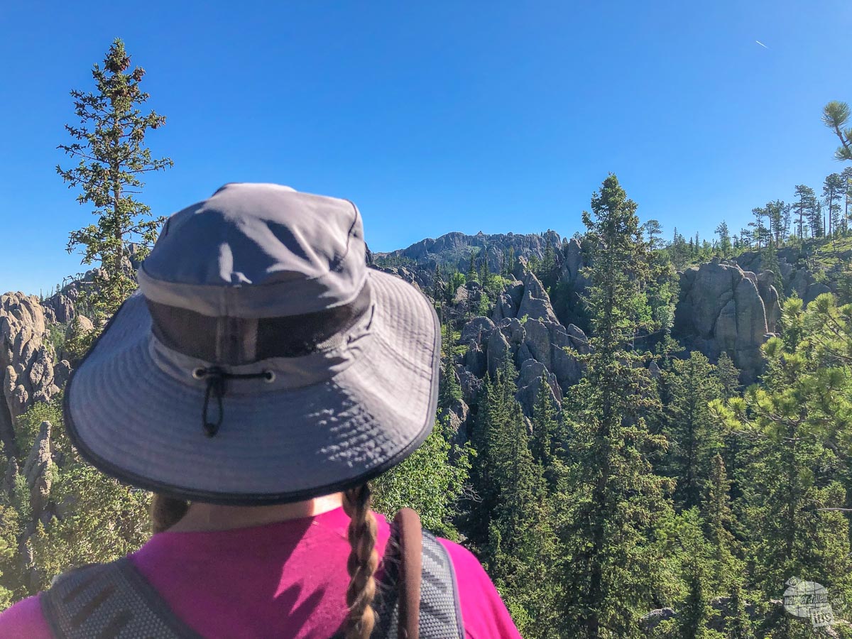
We highly recommend taking this trail counterclockwise. This will avoid the steepest of the uphill and give you nice views at the end. While it is a bit steep, the views of the Needles and Black Elk Peak are worth the effort.
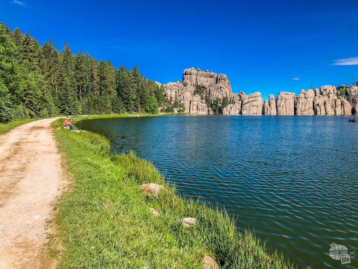
Sylvan Lake Shore Trail
1.1 miles | 59 foot elevation gain
This is a simple, easy walk around Sylvan Lake, one of the prettiest spots in the whole of the Black Hills. Most of this trail is relatively flat. That said, there is a section on the backside that requires hiking up and over the rock formations. It’s not terribly difficult but you do need to be able to handle the incline and uneven terrain.
Our biggest recommendation on this hike is to get up to Sylvan Lake early in the day during the summer. The parking lot tends to fill up quickly and you will find a hard time finding a place to park after mid-morning, especially on the weekends.
Cairn Trail
.5 mile | 157 foot elevation gain
This trail is located right next to the Peter Norbeck Education Center. It is a steep loop trail with not much in the way of views.
Honestly, we can’t recommend this trail at all. While it is short and located right next to the education center, there’s no real reward for your hard uphill. The views just aren’t worth it. It is a new trail, though, so perhaps the park will improve it with time.
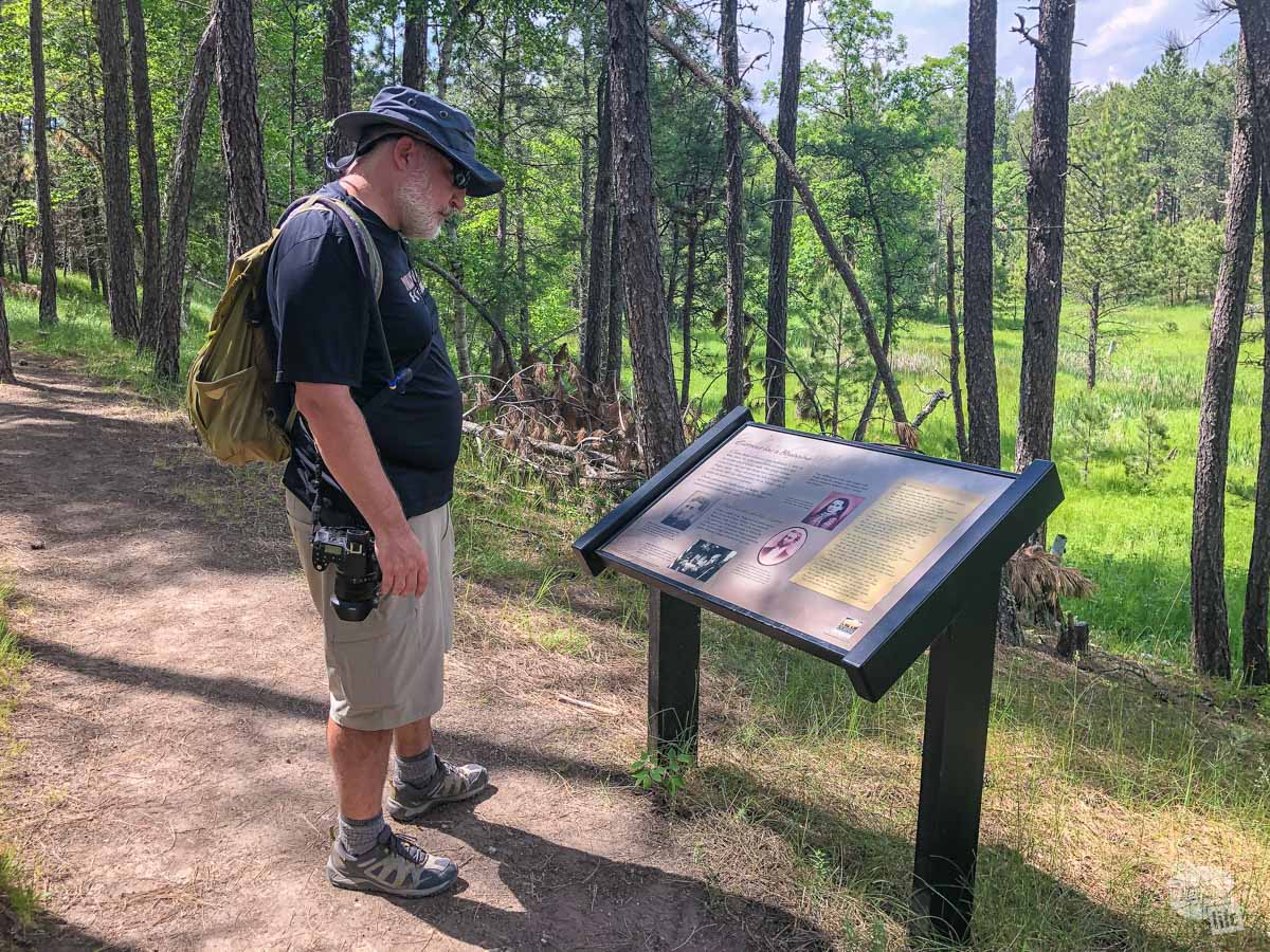
Badger Clark Historic Trail
.6 mile | 134 foot elevation gain
This trail is located right next to The Badger Hole, Badger Clark’s cabin. It follows a wooded loop through the woods behind the cabin.
What makes this trail special is the signs along the trail following the life and work of Badger Clark, South Dakota’s “Poet Lariat.” His cowboy poetry is nothing short of perfect. The trail ends right at the cabin.
One note of caution: the Centennial Trail runs through right next to this trail. Make sure you don’t accidentally end up on that trail by mistake. To reach the correct trail, walk towards the house. We followed the trail to the left, just before reaching the house. I think the “start” of the trail is actually on the far side of the house.
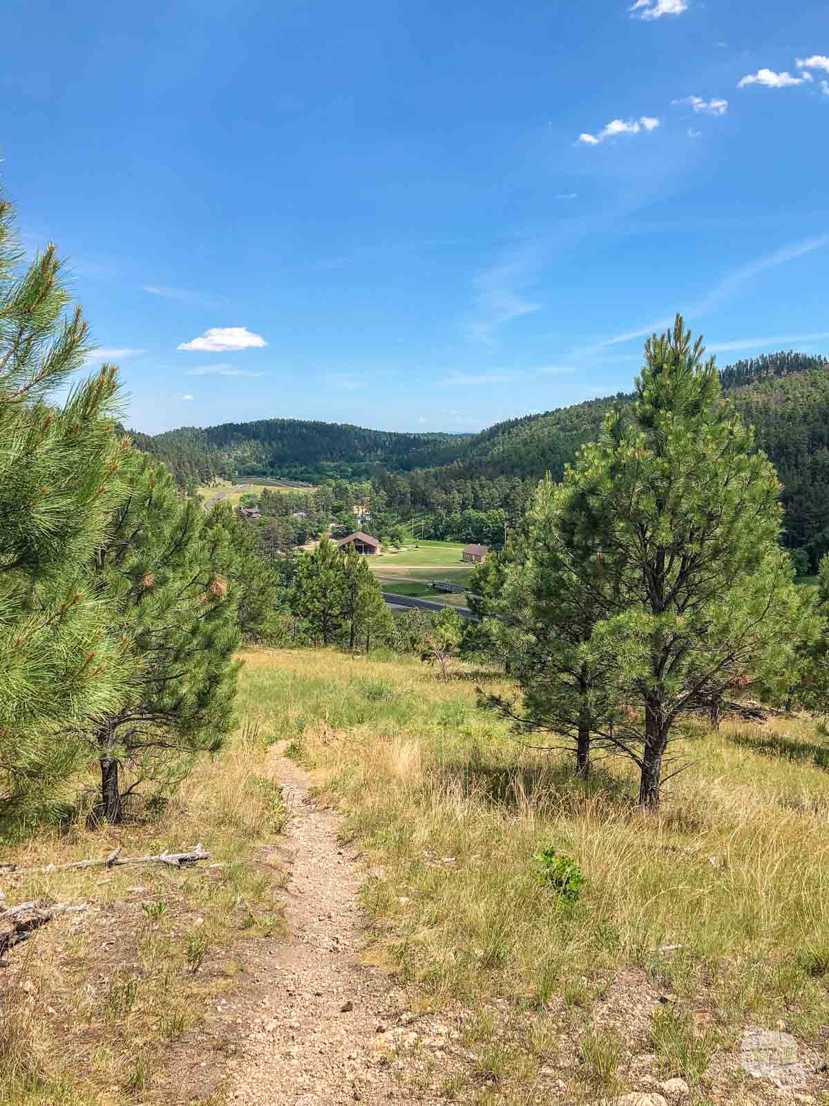
Heddy Draw Trail
.8 mile | 45 foot elevation gain
This is a quick out and back trail located at pull out just across from the Mount Coolidge Road. It is wooded and mostly flat.
There are some nice views along the trail. It makes for an easy, quick way to stretch your legs.
Moderate Hikes in Custer State Park
If you’re looking for hikes that are bit longer or with more incline, here are our recommendations.
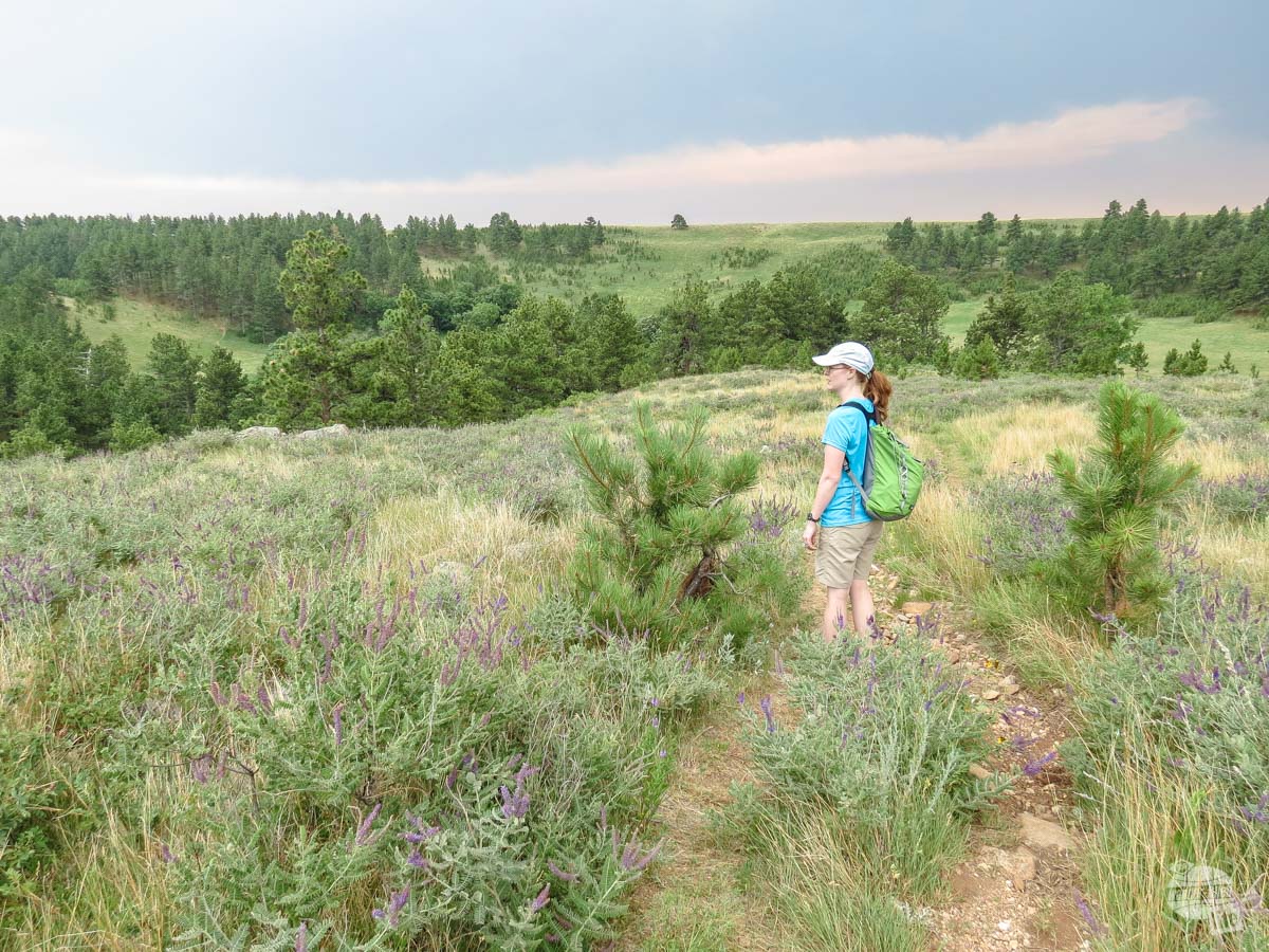
Prairie Trail
2.1 miles | 423 foot elevation gain
It’s been quite a while since we hiked this trail but we loved getting out on the prairie. This trail meanders across open vistas but it is not flat. You can find the trailhead on the Wildlife Loop.
We found plenty of buffalo chips and cactus on this trail so be wary of where you step and watch for bison!
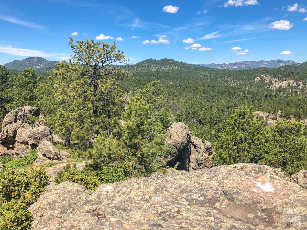
Lovers Leap Trail
4.2 miles | 626 foot elevation gain
This loop is located right down the road from the State Game Lodge and is probably one of our favorite hikes in Custer State Park.
We took the trail clockwise, which we recommend, because it gets the uphill out of the way right off the bat. The views from the “leap” are great. Following the views, you get to hike through a small canyon along a creek, winding back to the trailhead.
Difficult Hikes in Custer State Park
These hikes involve some serious mileage and/or incline. Only attempt these if you are experienced hikers with good trail shoes.
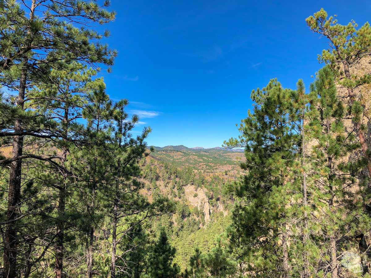
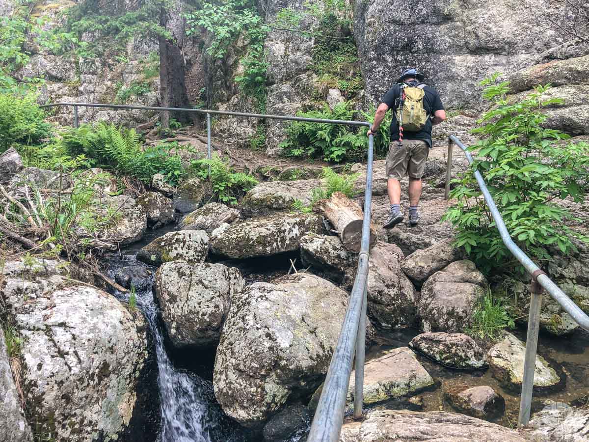
Sunday Gulch Trail
3.9 miles | 797 foot elevation gain
This loop trail drops behind Sylvan Lake down into the Sunday Gulch and then follows the creek back up, crisscrossing the creek and using handrails to climb some pretty steep rock formations.
We took this trail counter clockwise, which we recommend. The views to start are fairly open with the ability to see parts of the Needles Highway as we descended. Coming back up, the creek leads you back to the Sylvan Lake. We were glad to have the handrails for the way up and while it seems counterintuitive, going up these steep sections is better than going down.
When you get to the top, you have a choice of going back the way you came or completing the Sylvan Lake Loop as part of your hike. We recommend the latter.
This hike is doable for anyone used to doing moderate to strenuous hikes. That said, you will definitely be scrambling over rocks and pulling yourself with the handrails at times. The rock scrambling is what we loved most about this hike!
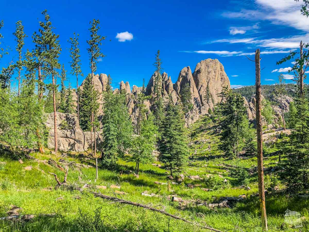
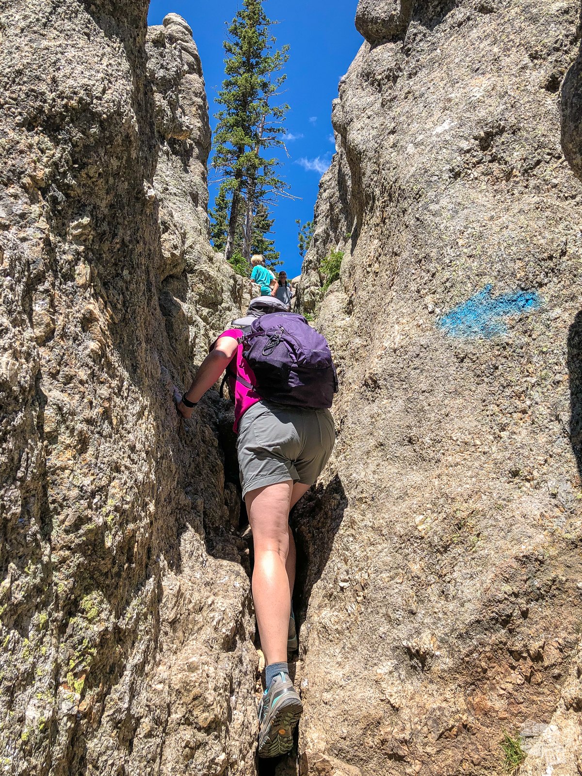
Black Elk Peak and Little Devil’s Tower Loop
9.1 miles | 1,798 foot elevation gain
This is the big daddy of the trails in Custer State Park and the Black Hills. We spent a bit more than five hours hiking this trail, including eating lunch and pictures. And it was worth it!
This trail takes you to the tallest point in South Dakota, Black Elk Peak, which is 7, 244 feet. This is also the tallest point east of the Rocky Mountains all the way to the Pyrenees in France. The view at the top is suitably amazing.
The trail starts in Custer State Park but soon enters the Black Elk Wilderness, part of the Black Hills National Forest. You will need a free permit to finish hiking the trail, so be sure to grab one for your group.
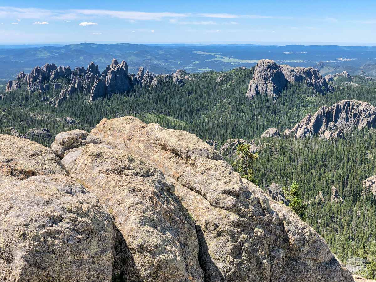
You have three options when it comes to these peaks: hike out and back to Black Elk Peak, hike out and back to Little Devil’s Tower or do the loop that covers both, like we did. We recommend the loop trail but know it adds three miles on to the trail. While this is a tough trail, it does not require anything technical. Just a lot of energy and grit.
Pro Tip: If you plan on hiking Little Devil’s Tower itself, hike it first. That ascent is brutal if you are already tired from summiting Black Elk Peak. Seriously, it is a lot of scrambling up steep rocks to get to the top.
I’ll be honest here, we stopped a little short of the Little Devils Tower Peak because our legs were tired and we just couldn’t justify the uphill rock scrambling. Still, it was a great hike and we really enjoyed it. We sure were glad once we back it back to the truck!
Final Thoughts on Hiking Custer State Park
We gush a lot about Custer State Park. It is easily our favorite state park in the US and is on par with many national parks. One of the reasons why is the great hikes to be found here.
There are so many great trails to hike and there are several more we haven’t hiked yet! We fully anticipate going back to the park to hike in the French Creek Trail or the Barnes Canyon Loop Trail.
Plus, you just can’t keep us away from the beauty of the Black Hills and Custer State Park for long.
Travel Resources
What do you use to find a flight?
We use Skyscanner to find deals on flights. Skyscanner has a great interface and compares tons of airlines for the best pricing and routing. That said, it does not always have every airline and some airlines will have better deals on their website. Still, Skyscanner is a great place to start.
Click here to search for a flight.
What do you use to find a hotel?
We typically stay at Hilton properties, so we use the Hilton website. You can find good Hilton Honors discounts or AAA discounts for a hotel there. We make great use of our free night certificates from our Hilton Honors American Express.
Click here to book a Hilton property.
If there are no Hilton properties available, we use TripAdvisor to read reviews and book the hotel. We find we can get the best price that way.
Click here to search for a hotel.
We recently partnered with Stay22 to add interactive maps to each of our destination posts. This will allow you to see a plethora of hotels and vacation rentals all in one responsive map of the area.
What if I need more space than I can get at a hotel?
We use Vrbo for the times when we have rented a cabin for a weekend getaway, like this cabin in Townsend, TN, or needed to rent a house for a large family vacation. We had a great experience with them in terms of refunding deposits when COVID hit and will continue to use them.
Click here to search for a vacation rental.
Who do you use for rental cars?
As a general rule, we book with Hertz for rental cars. We have had nothing but good experiences with them. Plus, we really like unlimited mileage and not worrying about crossing state lines. We have even rented from Hertz overseas in both Slovenia and Croatia.
Click here to book a rental car.
How about booking a cruise?
We have found some amazing prices for booking a cruise through Cruise Direct. We have saved a lot of money on our cruises compared to what we found elsewhere, making a last-minute Bahamas cruise even cheaper.
Click here to book a cruise.
What if I want to rent an RV?
We highly recommend Outdoorsy for RV rentals. We rented a camper van for a week to visit Rocky Mountain National Park for the elk rut and Custer State Park for the Buffalo Round-Up and had a blast. The program was easy to use and we really enjoyed the freedom of having a camper van for that trip.
Click here to rent an RV.
What do you use for booking tours?
We don’t often book tours. Typically, we like to do stuff on our own. That said, there are some experiences you can’t have any other way. So, when we do want to book a tour, we always check Viator first.
Click here to book a tour.
Do you use anything to get discounts on the road?
We make extensive use of both Good Sam and AAA on the road. Good Sam is normally regarded as a discount card for RVers at campgrounds and Camping World but anyone can use the 5 cents off a gallon at the pump at both Pilot and Flying J.
Click here to get a Good Sam membership.
We have had AAA as long as we have been married and it has more than paid for itself in discounts at hotels, aside from the peace of mind of having roadside assistance. Add in paper maps and the ability to get an international driver’s license and it is more than worth it for any traveler out there.
Click here to get a AAA membership.