Last Updated on February 24, 2024 by Grant
When we first started planning this trip, from Atlanta to New England, I knew nothing about the Adirondacks. I had heard of the area, but that was about it. Honestly, I probably would not have even thought to add it to our itinerary, but Grant insisted.
When I started doing some research, I quickly became overwhelmed. There’s just so much. Now that we’ve spent three days here, I feel like I have a better understanding of the area. Still, there is so much that is confusing and overwhelming.
Check out our full New England National Parks itinerary here.
Knowing that we wanted to visit Saratoga National Historical Park, which is southeast of the Adirondacks, and Fort Stanwix National Monument, which is southwest of the Adirondacks, we decided to stay somewhere on the south end of the “park.”
We ultimately ended up in a campground near the southeast corner, in Chester. There is no real significance to where we ended up, other than the campground was relatively inexpensive.
(Disclaimer: When we link to places where you can buy our stuff or places we stayed, we are using special codes that earn us commissions on the sales at no additional cost to you. Please see our Review Policy for more information.)
Updated May 2019
Driving the Adirondacks
This park is weird. Indeed, there are just over 6 million acres in what is known as “Adirondack Park.” About half of that land is privately-owned. The area we drove on our first day, near Lake George and Schroon Lake, seemed to be mostly private.
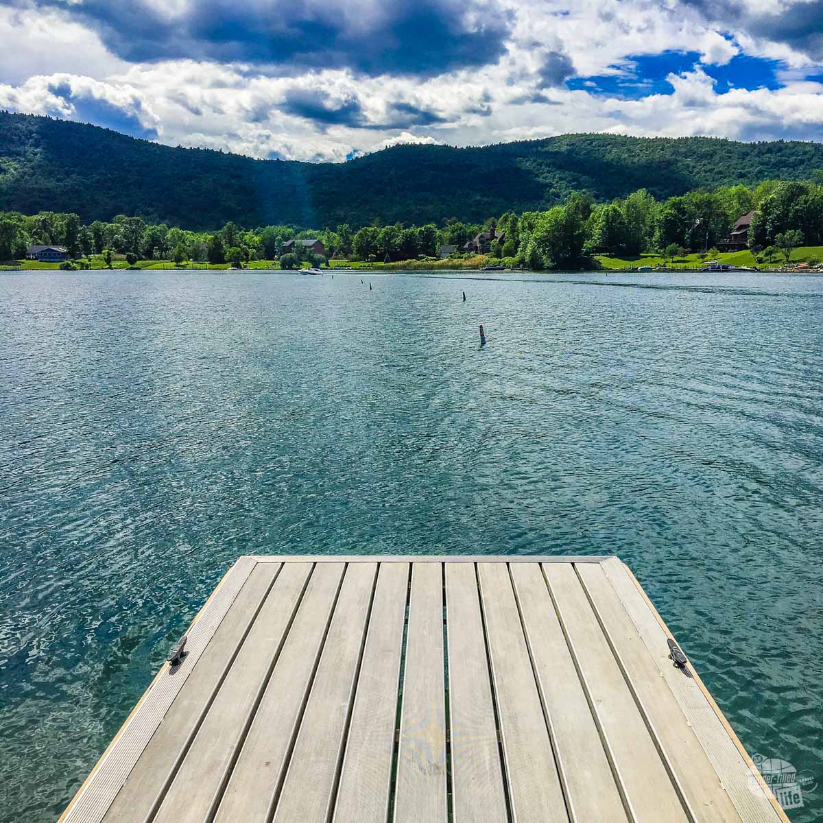
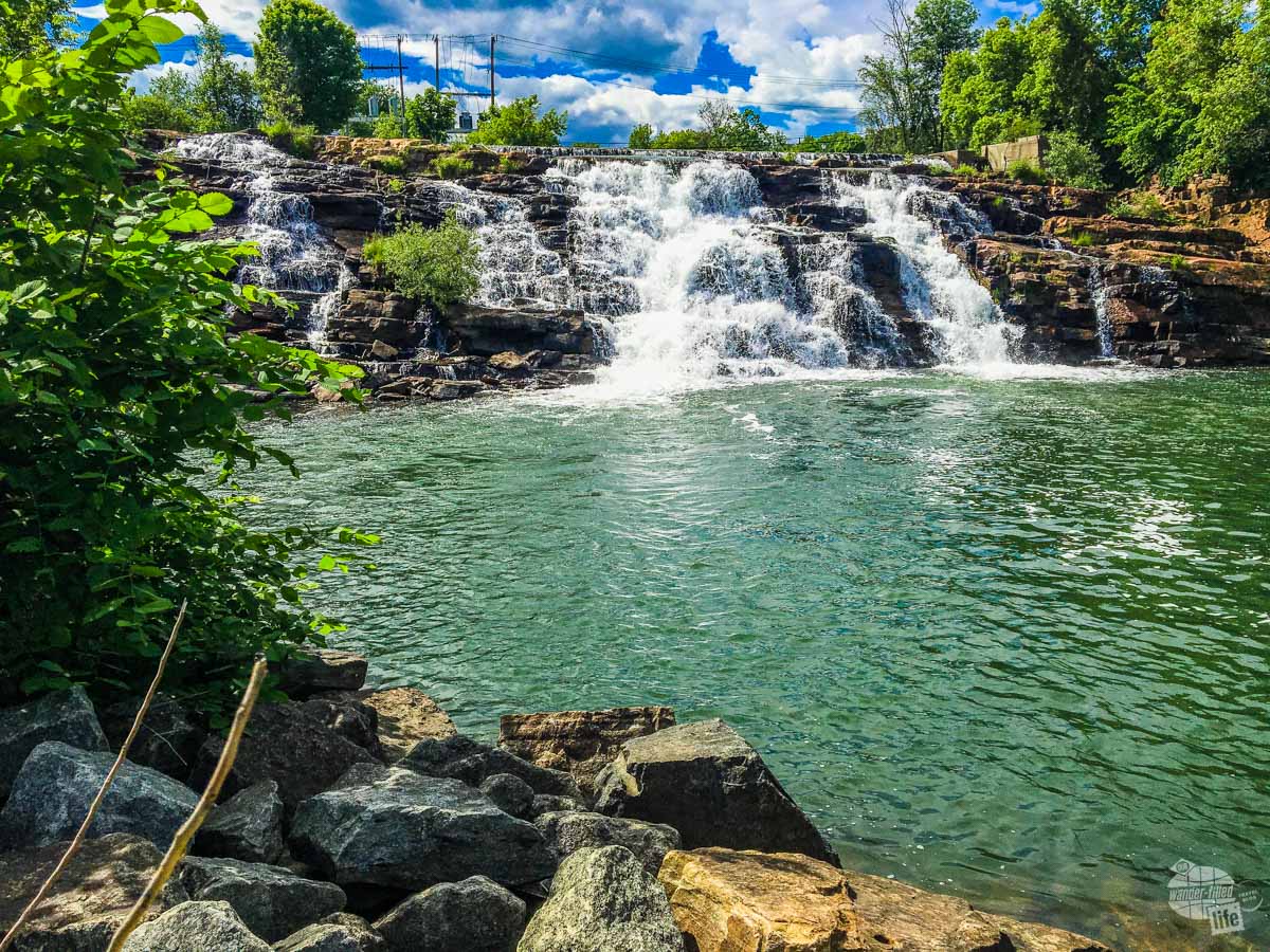
It was beautiful! Absolutely beautiful! Trying to get a good picture? That was hard. We came to discover very quickly that every available place along the lake was privately-owned and all of the access to it was private. Huh? I thought this was a park, preserved for all?
Following setting up camp in Chestertown, NY (or the Town of Chester, whatever), we decided to get out and drive part of the eastern portion of the park along Lake George and Lake Champlain.
We finally find some decent lake access to take a couple of photos. We did see a few parking areas for hiking, but nothing that was advertised well.
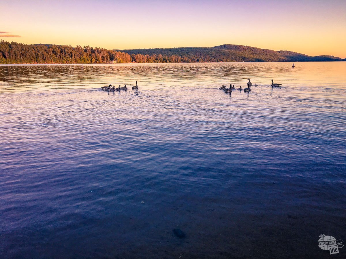
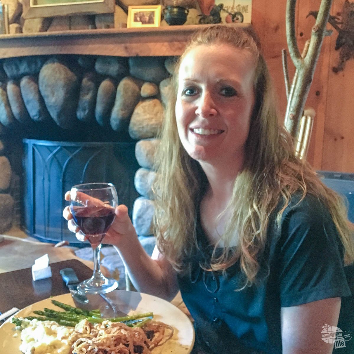
While here, I celebrated my 40th birthday, so we found a great little restaurant just off Schroon Lake for dinner. Sticks & Stones Wood Fired Bistro had some tasty food and we enjoyed walking along the shore of the lake afterward.
The next day we drove the “inner loop” of the park, through the High Peaks area. We FINALLY started seeing stuff that made it feel more like an actual park.
There were lots of well-marked hiking trails, parking for water access and turnouts so you could stop to take in the beauty and maybe snap a picture. Granted, there were still several towns mixed into this part of the park, but at least it started to feel like an actual park.
Round Mountain Trail in the Adirondacks
What really made it feel like a park was us actually getting out on a trail and doing some hiking! After some research, we decided on Round Mountain.
The first description that I found said that it was of moderate difficulty and 5-mile round trip. We generally consider ourselves somewhat experienced hikers. We make a point to get out on the trails anytime we can at parks or other areas that offer hiking.
So, when the web site said that there were some steep sections, I questioned it a little, but we ultimately decided that we should be able to handle it. In hindsight, we wish we had chosen a different trail. There were many others that probably would have been a more enjoyable hike. The other trails would likely have had a more enjoyable view at the top as well.
Check out our 10 essentials for hiking here.
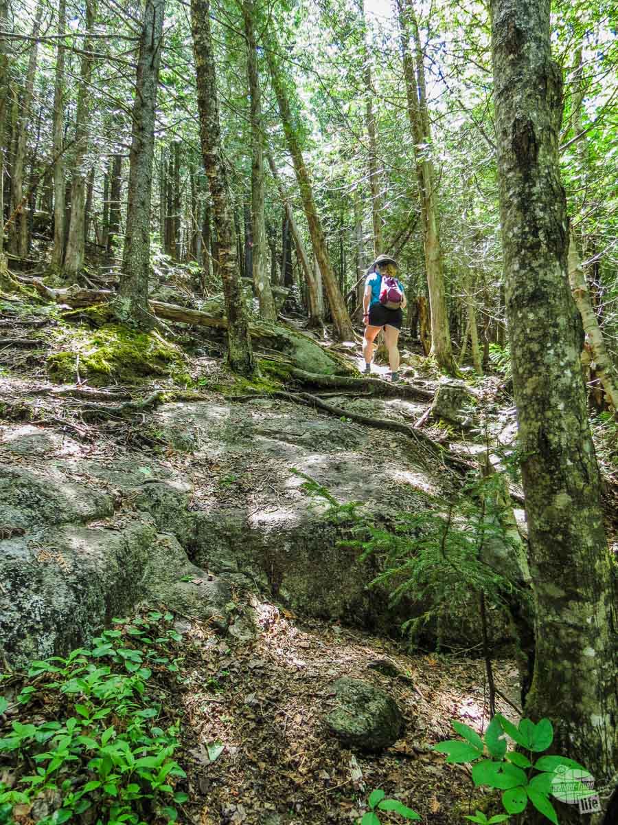
The Hike Up
This particular trail lived up to being very steep in sections, though other sections were just fine. Our biggest complaint going up was that path didn’t seem to make any sense. At times, it felt like we were going straight up because it was the most direct way to get to the top. Then just as we thought we were close to the top, it looped around a bit and went straight up somewhere else. The hike that should have taken us about 1.5 hours to get to the top ended up taking about 2 hours and 15 minutes.
Granted, some of that is due to Grant’s heart attack last summer. While he can exercise fairly normally, he does have to be careful that his heart rate doesn’t get too high or stay elevated for too long. So, yes, we stopped to rest a lot. I will admit, though, that most of the time I wasn’t complaining about having to take the “extra” rest breaks. This hike put a hurting on both of us, for sure. The last half mile of the hike up went up 1,000 feet! That really hurt.
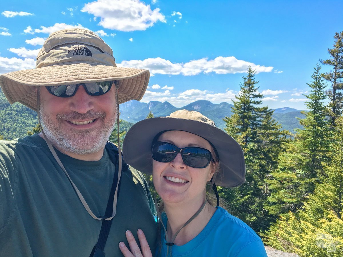
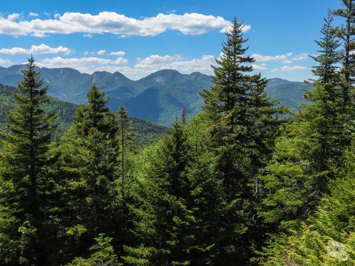
Once we finally made it to the top, the views were good. I don’t know that I would call them great, especially considering some of the other views we’ve seen around the world, but it was nice.
The Hike Down
Then came the hike down. I know that downhill hiking isn’t necessarily easy, but I somehow always seem to forget just how hard it can be!
We decided to take a different trail down. We always like to change it up if possible so that we can see a different view. This path was not really easier or harder, just different. It was a little bit more exposed (not as much shade), so that made it hotter. There was A LOT of “sliding” down rocks (there was some of that on the way up, but going down it was much harder). While neither the up or down required “rock climbing,” we were definitely climbing over rocks.
The worst part of the trail was when we seemed to just be following a water run-off. Lots of small rocks, lots of wet muddy parts, the trail was very uneven and not well-maintained. Combined with going downhill pretty much constantly for 2.5 miles… We really were not amused. By the end our quads and knees were definitely feeling it!
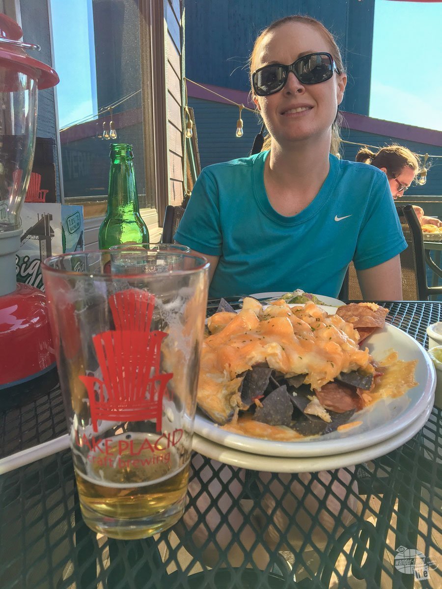
Lake Placid
Our reward for actually finishing this hike was a stop at the Lake Placid Pub & Brewery. Grant enjoyed the local brews and we chowed down on some chicken nachos. Lake Placid is a lovely little town and one of the few that actually has a few chains (Saranac Lake also had some chain eateries and hotels). Lake Placid also hosted the Winter Olympics twice and has a lot of winter sporting opportunities.
The remainder of our drive around the park was peaceful and mostly traffic-free. We passed a lot of lakes and many more hiking trails.
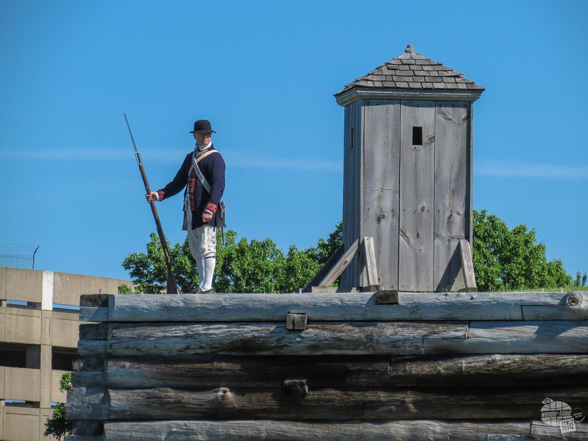
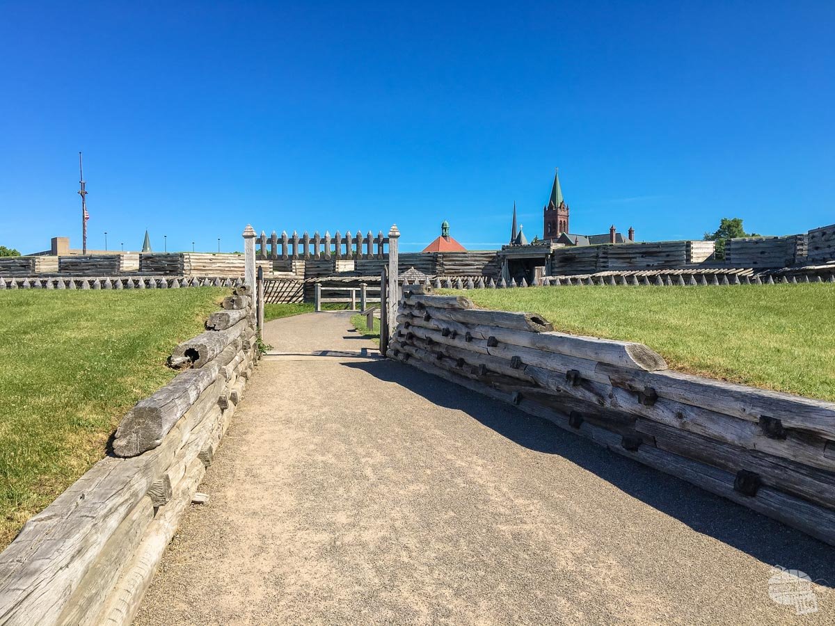
Fort Stanwix National Monument
Fort Stanwix is a recreated version of a Revolutionary War fort located basically in downtown Rome, NY. Originally built by the British during the French and Indian War, the American Patriots refurbished the fort during the Revolution.
The fort was built to control the water routes from Lake Ontario to the Mohawk River, which flows east into the Hudson River. It was a four-pointed star design, built of earth and wood.
Grant quickly noticed that those who rebuilt the fort missed some important details, such as the proper angles for the cannon emplacements to allow for overlapping fields of fire.
Most folks wouldn’t notice but the history nut and former soldier in Grant just sees these things.
The British sieged the fort during the war and ambushed reinforcements to the fort at the Battle of Oriskany. Eventually, the British were run off from the fort but the battle and siege pitted clans of the Oneida tribe against each other, breaking the peace the Indians had with each other.
One of the things that impressed me most about the fort’s exhibits was how well they told the story of the impact of the war on different groups in the area. It is easy to believe, based upon the history lessons we receive as kids, that it was all rainbows and sunshine for the victors of the Revolution, but there was a lot of struggle and pain.
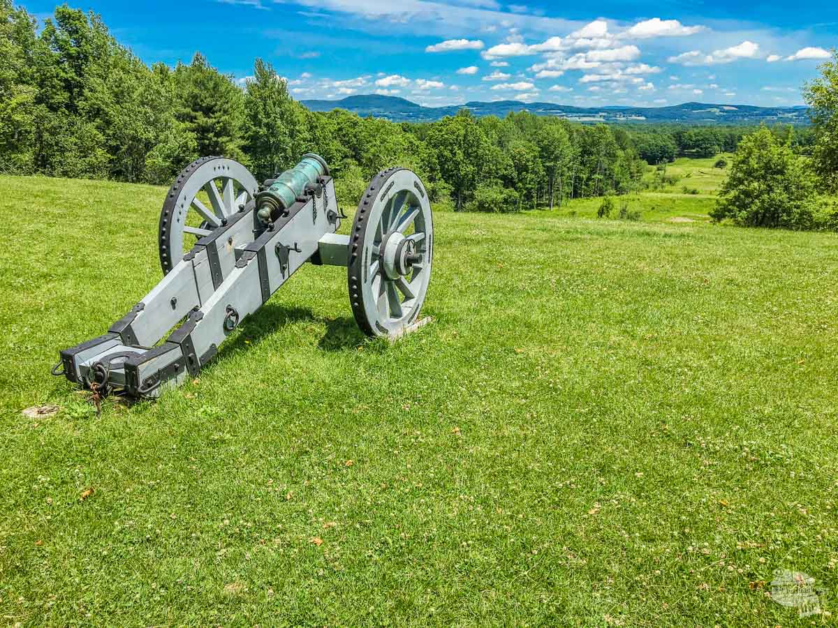
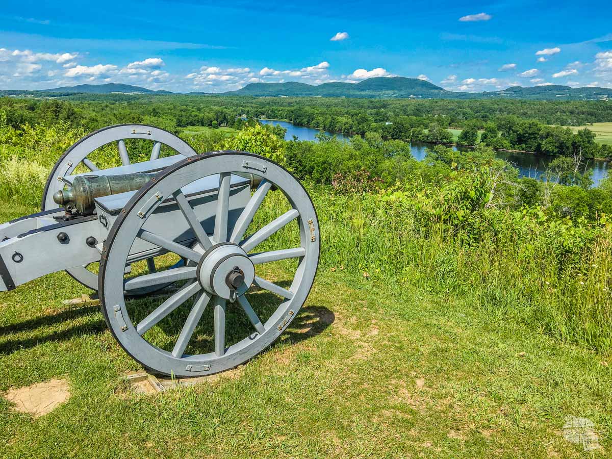
Saratoga National Historical Park
Saratoga is one of the more important battles in the northern campaign of the Revolutionary War.
Essentially, the British were moving south along the Hudson River, having great success engaging minor forts along the river. At Saratoga, General Gates and Polish combat engineer Tadeusz Kosciuszko, a native of Kraków (we saw a monument dedicated to him in Poland last summer), set up very effective defenses along the river, forcing the British to engage the Patriots on the high ground. The Patriots withstood several attacks and then counterattacked, forcing the British to surrender.
It was a major victory for the Patriots and secured French naval support, which made the victory at Yorktown possible.
The park itself is a large portion of the battlefield and, unlike most Civil War battlefields, is not littered with stone monuments. We chose to take a four-mile hike though the battlefield. We enjoyed the hike, which allowed us to stretch our legs after four hours in the car.
The trail was very nicely done, with large portions going through open field, but plenty of shaded areas as well. It took us a little more than an hour (at our normal pace of about three miles per hour when hiking) to hike the entire loop with only a few steep places. We also did the driving tour, which was very informative.
Alee, the Great Hunter
Following a quick stop for groceries and gas, we headed back to the campsite.
Interestingly, Alee (our cat), has become a lot more comfortable coming outside here (she is sitting out with us right now).
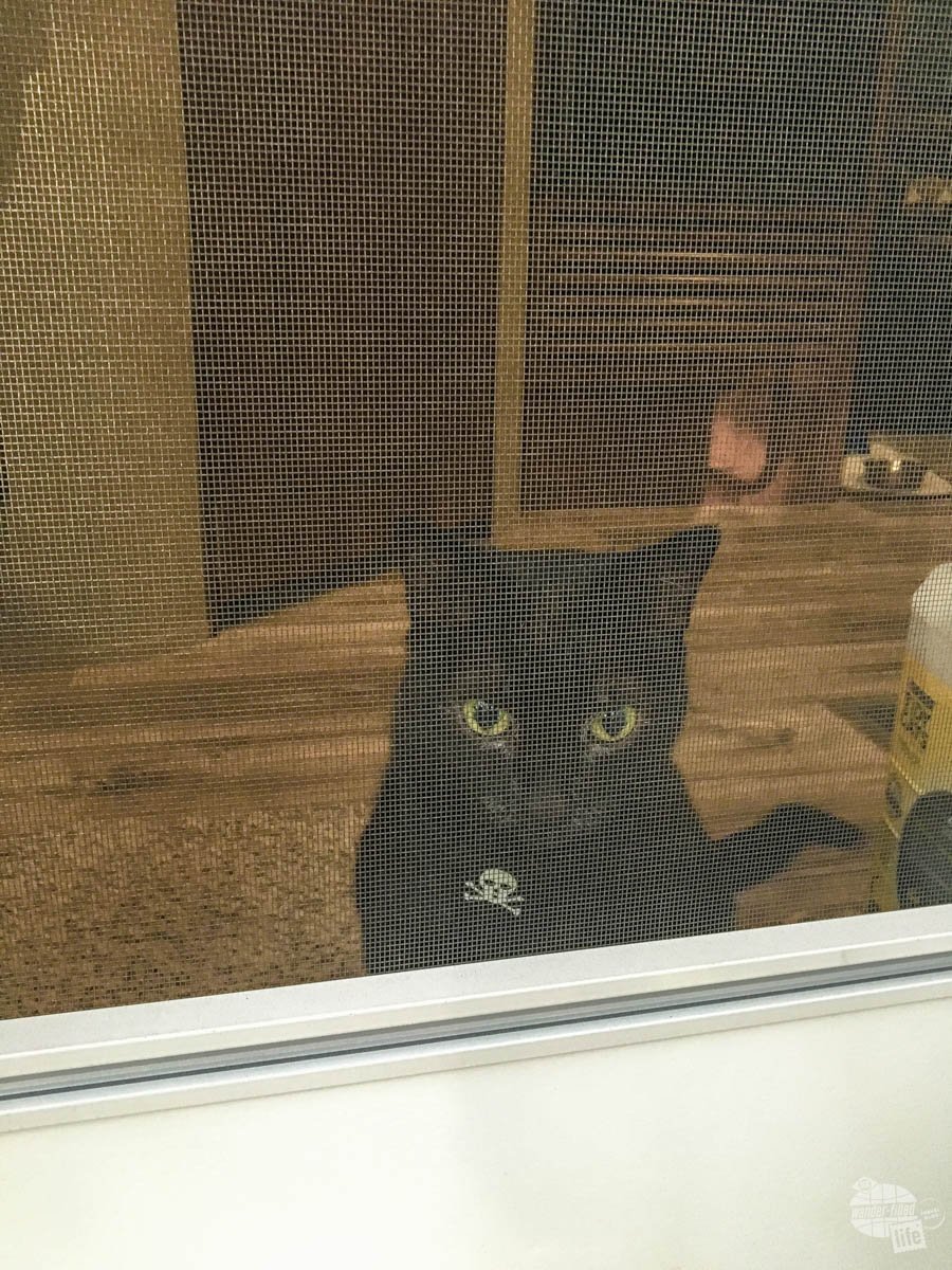
I think she has been watching the squirrels run around in the campsite from the window of the camper. When she has seen one while outside, she is pulling at the leash with everything she has to get out after the “tree rats.”
While I applaud her intent, I honestly think she would get her butt kicked in a one-on-one with a squirrel. Eventually, we had to put her up lest she pull her way out of her harness.
Sadly, we lost our Camping Kitty in February 2019. Read more about Alee here.
Final Thoughts on the Adirondacks
Overall, we enjoyed our time in the Adirondacks, but don’t necessarily feel the need to come rushing back anytime soon. There are a lot of things that we didn’t do, but most of them have entrance fees.
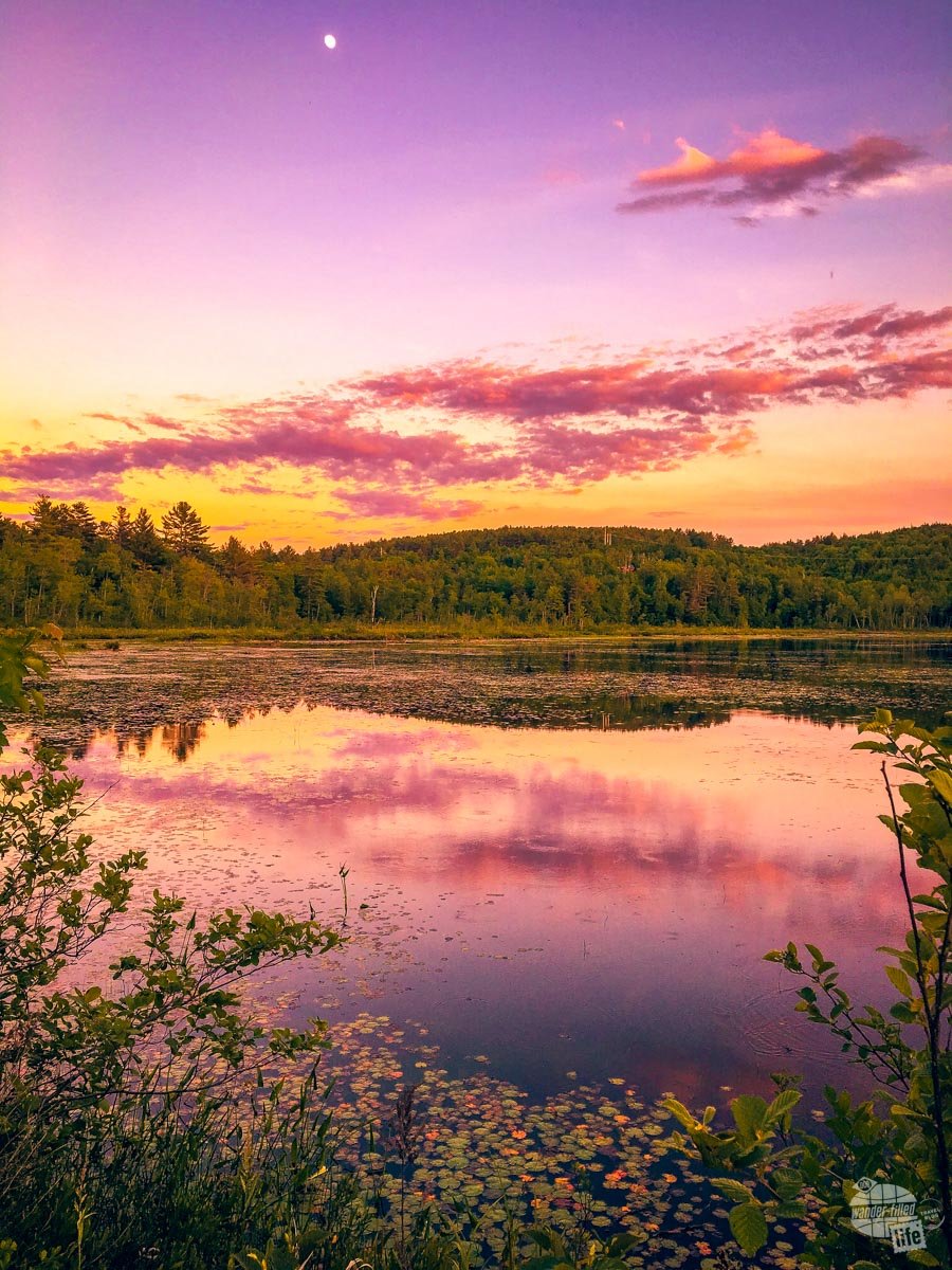
The northern end of the park, especially around Lake Placid and Saranac Lake, seems to have the most to offer. Perhaps we will visit sometime in the winter and do some skiing or snowmobiling.
We enjoyed our campground in Chestertown but were we going again, I think we would try to stay further north in the park. That said, prices get a lot higher as you go north.
Check out our full New England National Parks itinerary here.
Travel Resources
What do you use to find a flight?
We use Skyscanner to find deals on flights. Skyscanner has a great interface and compares tons of airlines for the best pricing and routing. That said, it does not always have every airline and some airlines will have better deals on their website. Still, Skyscanner is a great place to start.
Click here to search for a flight.
What do you use to find a hotel?
We typically stay at Hilton properties, so we use the Hilton website. You can find good Hilton Honors discounts or AAA discounts for a hotel there. We make great use of our free night certificates from our Hilton Honors American Express.
Click here to book a Hilton property.
If there are no Hilton properties available, we use TripAdvisor to read reviews and book the hotel. We find we can get the best price that way.
Click here to search for a hotel.
We recently partnered with Stay22 to add interactive maps to each of our destination posts. This will allow you to see a plethora of hotels and vacation rentals all in one responsive map of the area.
What if I need more space than I can get at a hotel?
We use Vrbo for the times when we have rented a cabin for a weekend getaway, like this cabin in Townsend, TN, or needed to rent a house for a large family vacation. We had a great experience with them in terms of refunding deposits when COVID hit and will continue to use them.
Click here to search for a vacation rental.
Who do you use for rental cars?
As a general rule, we book with Hertz for rental cars. We have had nothing but good experiences with them. Plus, we really like unlimited mileage and not worrying about crossing state lines. We have even rented from Hertz overseas in both Slovenia and Croatia.
Click here to book a rental car.
How about booking a cruise?
We have found some amazing prices for booking a cruise through Cruise Direct. We have saved a lot of money on our cruises compared to what we found elsewhere, making a last-minute Bahamas cruise even cheaper.
Click here to book a cruise.
What if I want to rent an RV?
We highly recommend Outdoorsy for RV rentals. We rented a camper van for a week to visit Rocky Mountain National Park for the elk rut and Custer State Park for the Buffalo Round-Up and had a blast. The program was easy to use and we really enjoyed the freedom of having a camper van for that trip.
Click here to rent an RV.
What do you use for booking tours?
We don’t often book tours. Typically, we like to do stuff on our own. That said, there are some experiences you can’t have any other way. So, when we do want to book a tour, we always check Viator first.
Click here to book a tour.
Do you use anything to get discounts on the road?
We make extensive use of both Good Sam and AAA on the road. Good Sam is normally regarded as a discount card for RVers at campgrounds and Camping World but anyone can use the 5 cents off a gallon at the pump at both Pilot and Flying J.
Click here to get a Good Sam membership.
We have had AAA as long as we have been married and it has more than paid for itself in discounts at hotels, aside from the peace of mind of having roadside assistance. Add in paper maps and the ability to get an international driver’s license and it is more than worth it for any traveler out there.
Click here to get a AAA membership.
interesting perspective. In a reverse, don’t really consider out West much for our travel plans, as I just imagine desert and corn fields (barring the big attractions). I’ve never been to adirondacks, but I want to go canoe camping there. That seems to be one of the best things the area has to offer, with thousands of lakes and ponds.
Thanks Huck!
We agree. The Adirondacks offer a ton of outdoor opportunities. Canoeing there would be amazing.
As for out West, there’s so much for you to see… And while the cornfields of the Plains can be a bit boring, what you get to on the other side is amazing. And the desert is gorgeous.