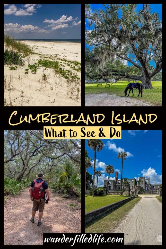
Visiting Cumberland Island National Seashore is like stepping back in time, especially at the southern end of the island. This park preserves a coastal barrier island and while human beings have impacted the island, it is far less developed than most of the islands along the Atlantic Coast.
Located on the Georgia coast, Cumberland Island has a long history of human settlement, including the Timucuan tribe, Spanish missionaries, the Revolutionary War hero Nathaniel Greene, and the wealthy Carnegie family. It was the final owners of the island, the Carnegies, who kept the island as a private playground and allowed the natural flora and fauna to thrive after a century of farming on the island.
Today, the island is preserved as Cumberland Island National Seashore, one of the 400+ units managed by the National Park Service.
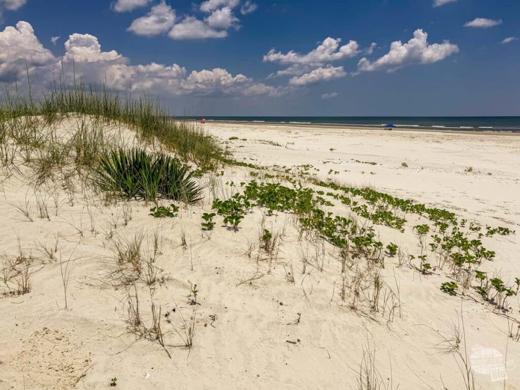
Since most of the island has been left in a natural state and is a designated wilderness, it makes the perfect place to see a Southern barrier island in all its Spanish moss-draped glory.
While you can stay on the island overnight, accommodations and services are limited. A day trip to Cumberland Island will afford you plenty of time to explore the southern end of the island and enjoy the beach. So, let’s take a look at how to spend a day on Cumberland Island.
(Disclaimer: When we link to places where you can buy our stuff or places we stayed, we are using special codes that earn us commissions on the sales at no additional cost to you. Please see our Review Policy for more information.)
Planning a Visit to Cumberland Island National Seashore
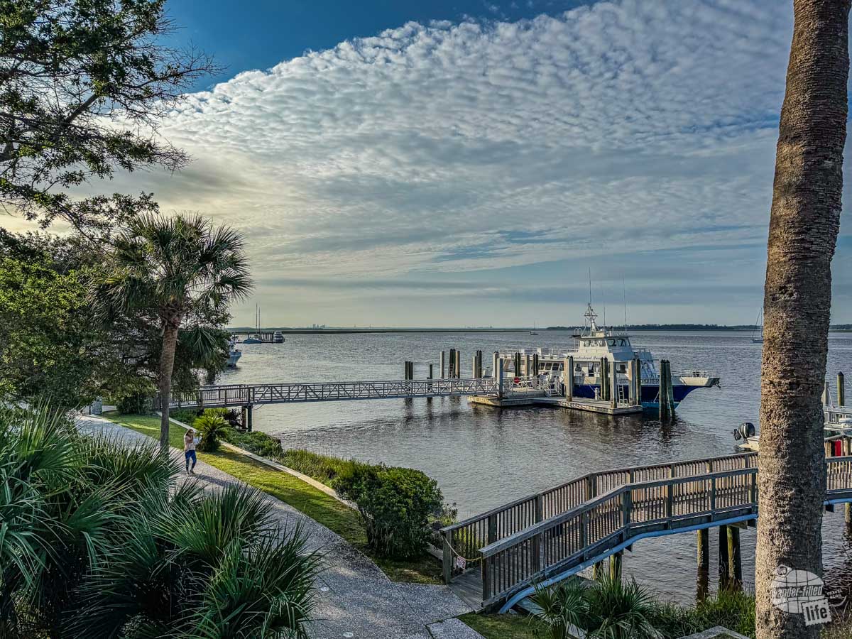
The first thing you need to know about planning a visit to Cumberland Island National Seashore is there is no bridge to the island. That means you have to take a ferry from St. Marys on the mainland.
The second thing you need to know is the Park Service limits the number of visitors to the island to 300 per day. That means reservations on the ferry can and do fill up quickly.
The third thing you need to know is you need to bring EVERYTHING you need with you on the island for the day or however long you plan on staying if you are camping. You will find restrooms, freshwater and there are a couple of places where you can cool down in the air conditioning but that’s it. There aren’t even any trash cans. The Park Service even has a page on getting ready to visit the park.
Next, while there are roads on the island, there are a limited number of vehicles on the island. While we were there, we saw Park Service vehicles, a tour van for the Lands and Legacies Tour and a private vehicle from one of the inholdings.
So, unless you are paying for the Lands and Legacies Tour, you will be either on foot or on a bicycle. The ferry does allow a limited number of bicycles but that fills up quickly. There used to be a bicycle rental facility on the island but the bike rentals have been indefinitely suspended after COVID and hurricanes. So, for now, you’ll have to bring your own bike or rent one on the mainland. Note: if taking a bicycle on the ferry, you must include that in your reservation.
You can camp on the island; there are two developed campgrounds and three wilderness campgrounds. Regardless, you need a reservation to camp on the island. If you are camping at Sea Camp, you can use a cart. Otherwise, you have to carry all of your gear in.
Lastly, make sure you are at the visitor center in Saint Marys one hour before your ferry departure. The Park Service uses that time to check you in, collect the $15/person entrance fee and conduct a brief orientation on what to expect on the island.
Pro tip: Don’t park on the street right by the visitor center. The City of Saint Marys has placed two-hour limits on parking on that street. The Park Service has a dirt parking lot just down the street from the visitor center.

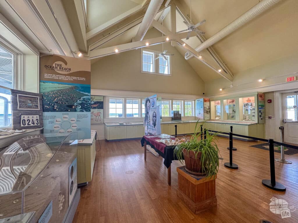
Start Your Visit at the Visitor Center and Museum
The day before we went out to Cumberland Island, we made a point to visit the visitor center and speak to a ranger. He gave us some great advice for visiting the island, including how to manage the heat when we visited (95 in early June!).
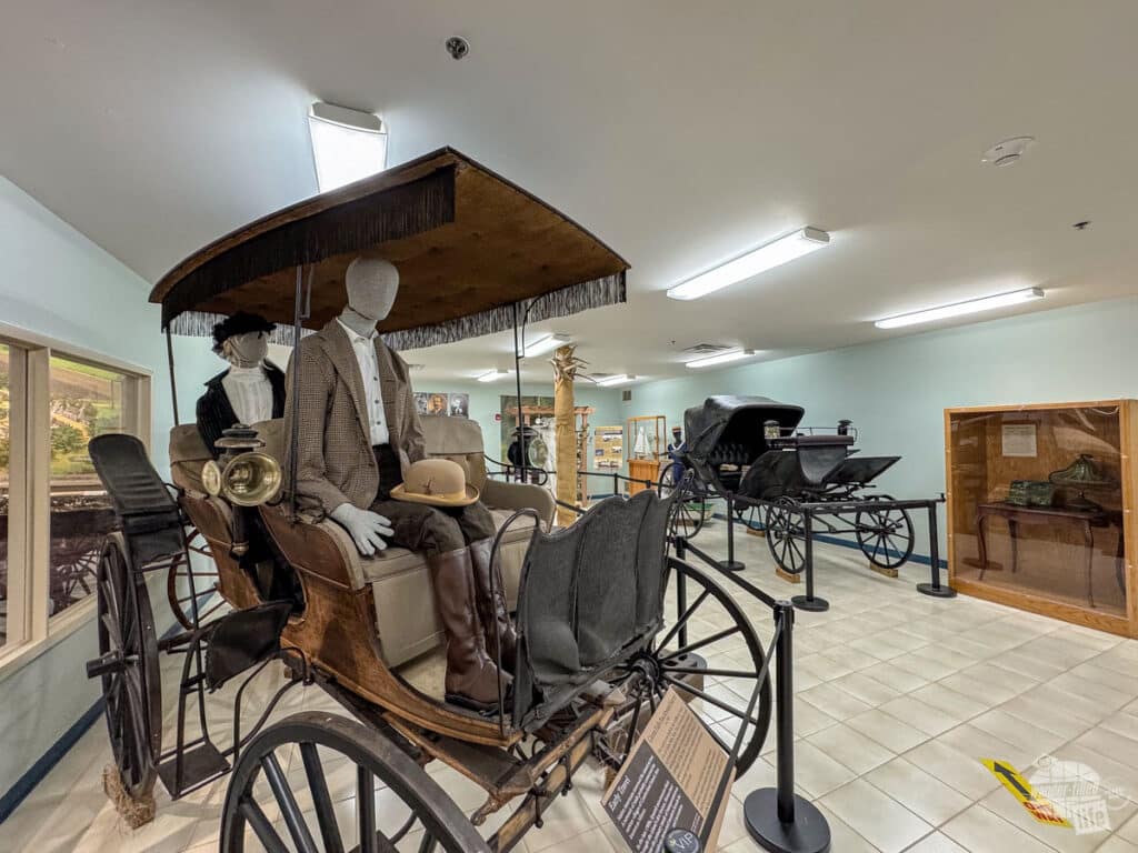
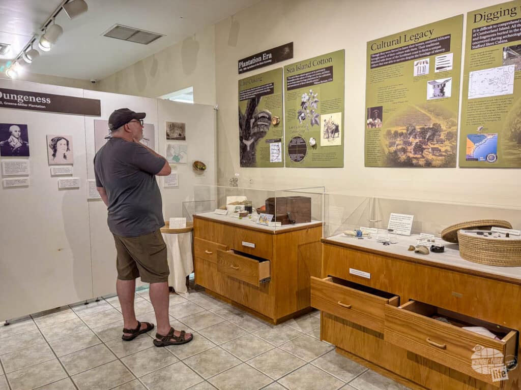
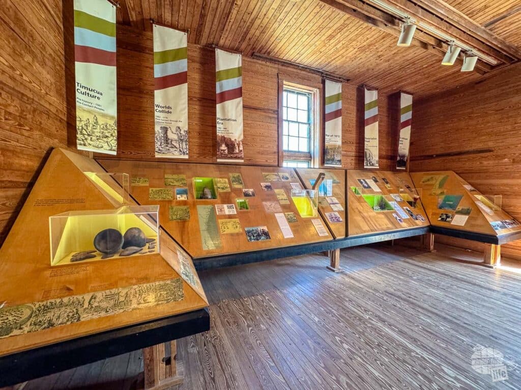
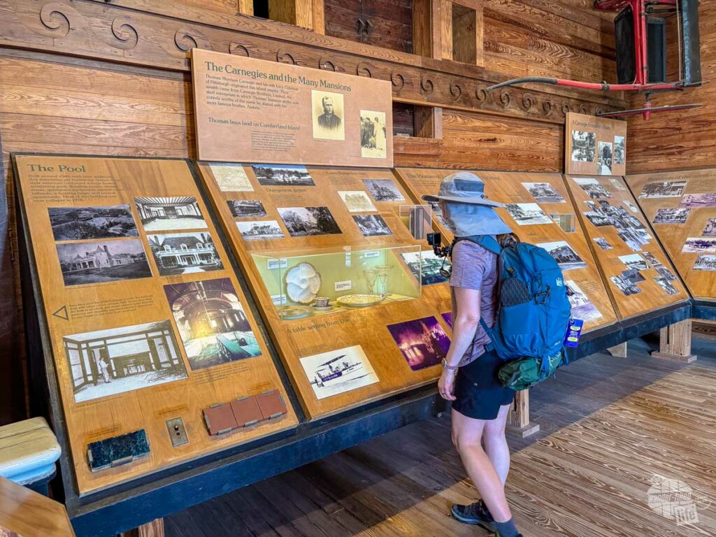
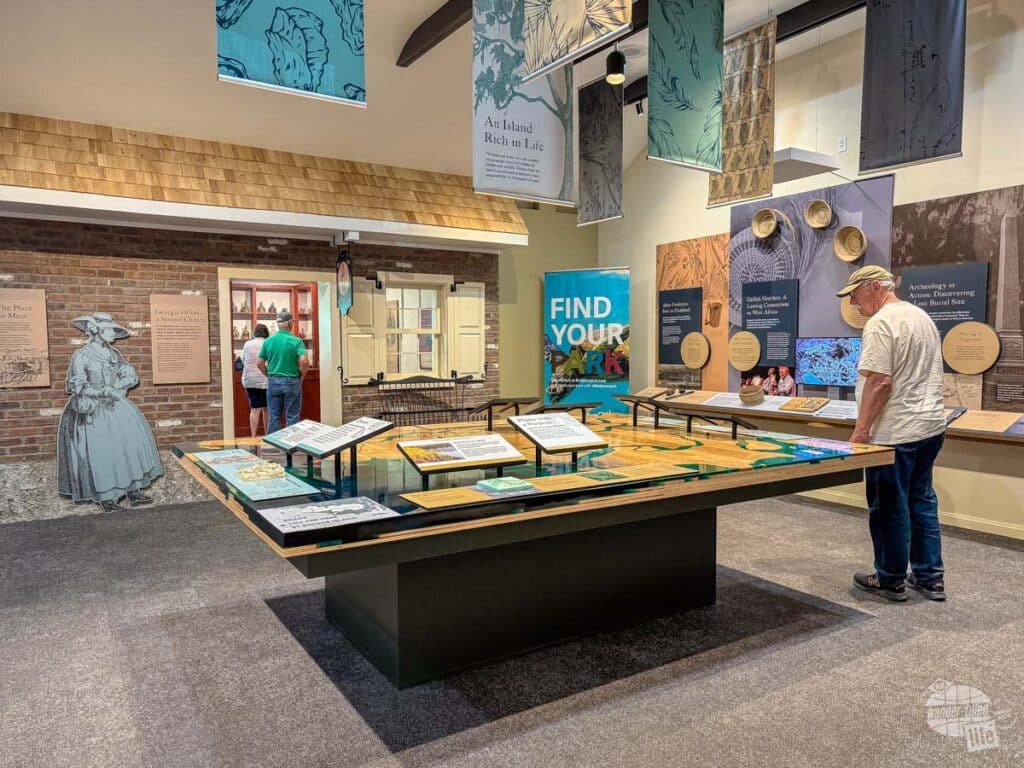
We also visited the nearby Cumberland Island National Seashore Museum (it’s around the corner from the visitor center). The museum has excellent exhibits on the various human inhabitants of the island and is a great primer for understanding how humans have shaped the island over the years.

How We Prepared for a Day Trip to Cumberland Island National Seashore
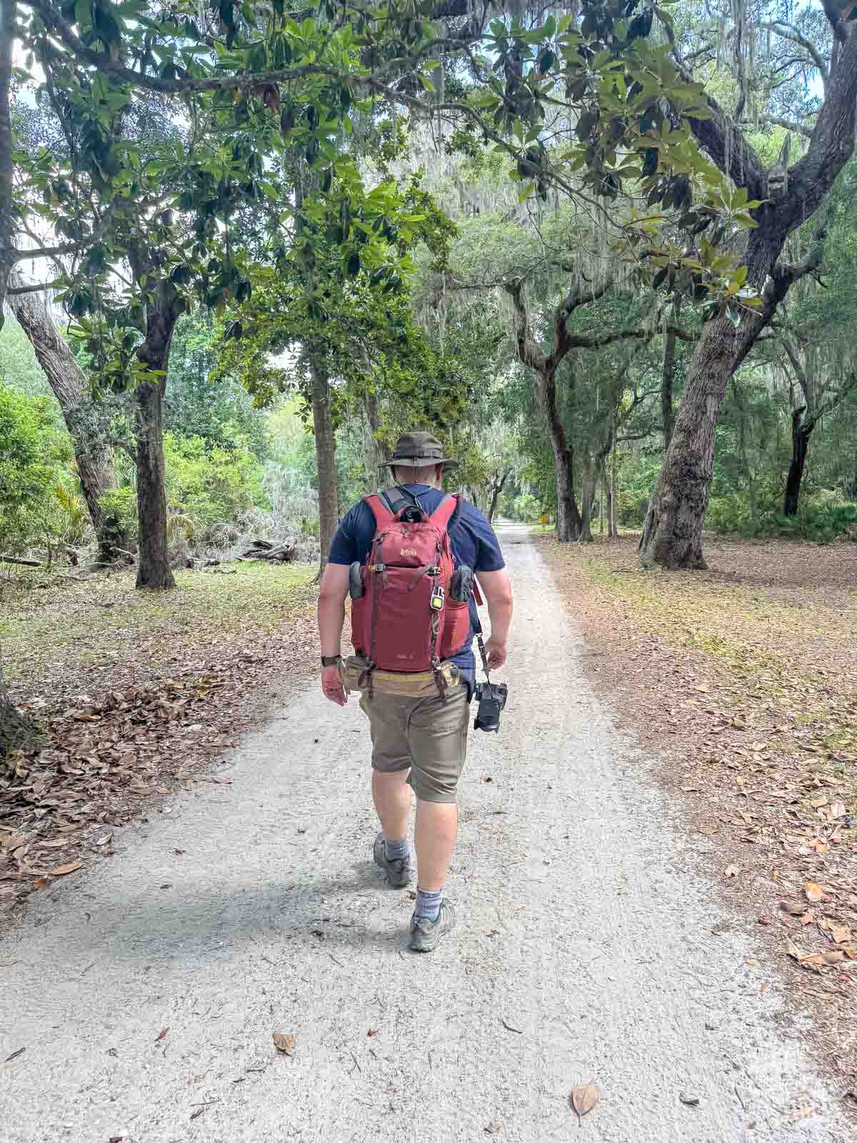
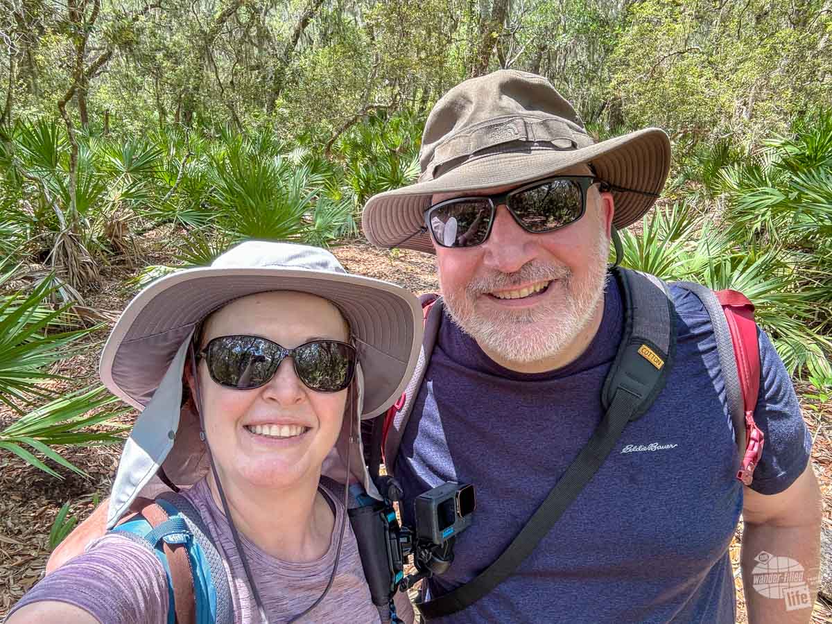
We decided for this trip to just spend the day on Cumberland Island. We booked our ferry for 9 a.m., returning at 4:45 p.m. We brought our daypacks and loaded them down with gear and supplies for our day on the island. As always, we packed our 10 essentials. This was especially important since we were hiking with limited services.
Check out our 10 essentials for hiking here.
We knew it was going to be quite hot for our day at Cumberland Island, so we made a point to pack a full three liters of water in our water bladders, which we stuck in a cooler on ice the night before. This kept the water at least cool for most of the day. We also took an extra bottle of Gatorade each.
In terms of lunch, there is a market near the visitor center which will make you to-go sandwiches. That said, they were pretty pricey. So, we went to a local grocery store the night before and bought a loaf of bread and peanut butter and jelly. We chose that because we knew the heat would cause any sort of lunch meat to spoil. We loaded in some salty snacks and were good to go.
In terms of clothes, we stuck with our standard hiking attire of moisture-wicking shirts and shorts along with wide-brimmed hats and hiking shoes.
We grabbed sunshirts, packable towels and bathing suits in case we wanted to swim. We also took packable raincoats just in case we got caught in an afternoon thunderstorm. Finally, we brought sandals with us for when we wanted to kick our hiking shoes off.
We made a point to take both sunscreen and bug spray. Both the rangers and folks in town make a point to warn us about the ticks on the island.
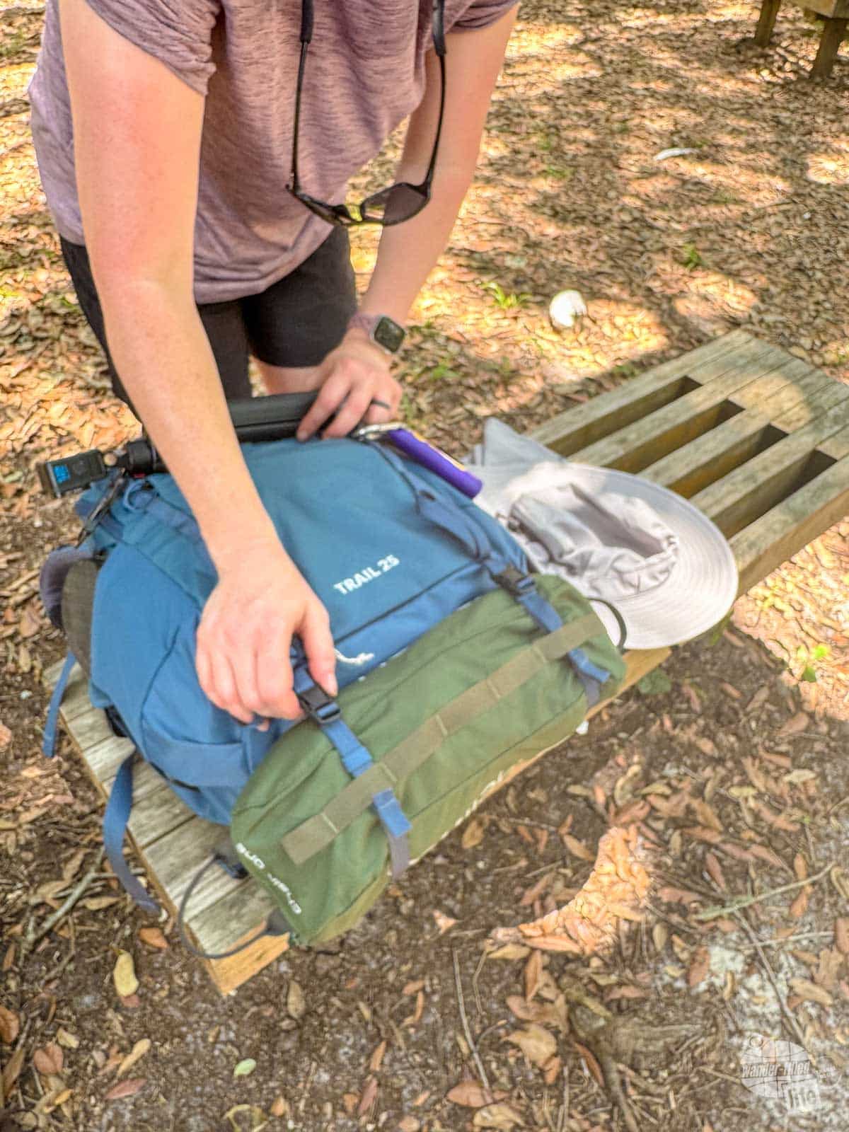
Lastly, we grabbed our tablets and Heliox chairs, which we lashed to the bottom of our packs, so we could enjoy reading in the shade. These were well worth the weight and we were so glad we took them!
We were quite glad we were using our REI Trail 25 packs which both have lashing straps on the bottom. Bonnie’s straps were even better since they had quick-release buckles (she has the newest version of this pack).
This load-out worked well for one day on Cumberland Island in the heat. While I did not quite run out of water, Bonnie did right as we were leaving. I only had an ounce or so left, though.
The only thing I would have liked that we didn’t have would have been a lightweight sunshade so we could sit out on the beach. Quite simply, the sun was too much when we went in early June to spend a lot of time out there without some sort of shade.
What to Expect When You Arrive at Cumberland Island
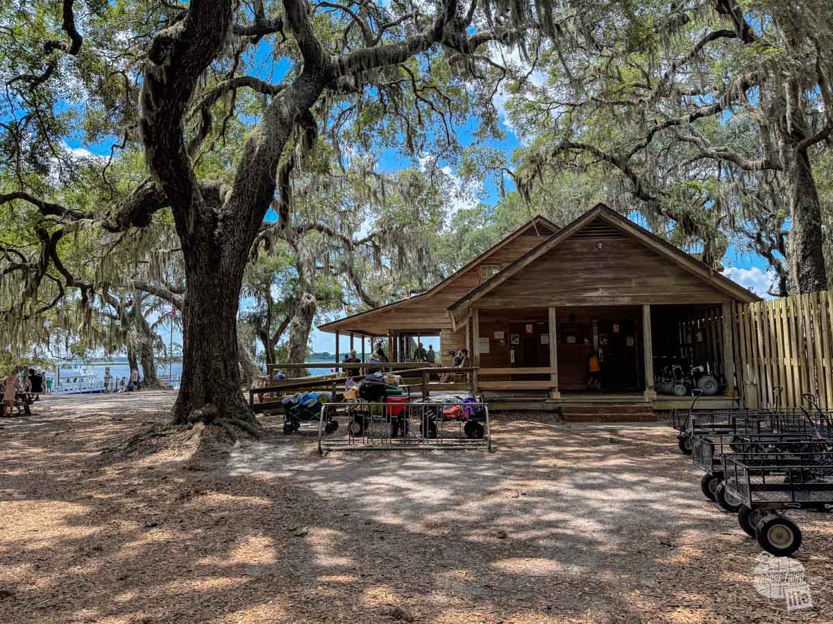
You will have two choices in terms of where you get off the ferry when you arrive at Cumberland Island National Seashore: the Ice House Museum/Dungeness dock and the Sea Camp Ranger Station dock. If you are camping, have a cart of gear or bicycle to unload or are taking the Lands and Legacies Tour, you have to get off at the Sea Camp Ranger Station.
If you are not camping or taking the tour, it does not matter which dock you get off at. The advantage to getting off at Ice House Museum Dock is the proximity to the ruins at Dungeness and the ranger-led Footsteps Tour at 10 a.m.
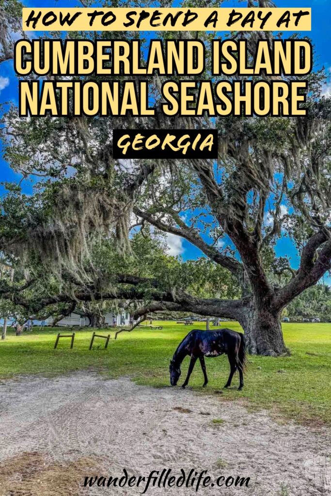
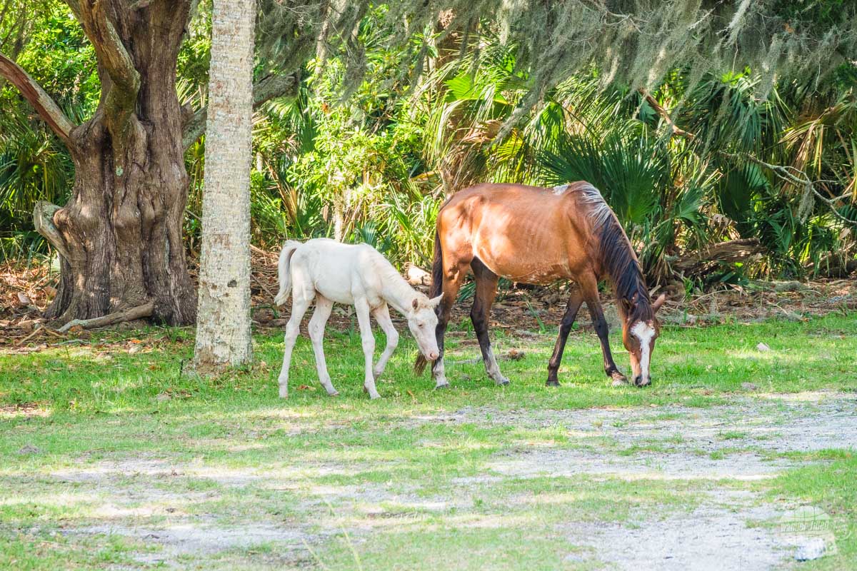
We were quite interested in doing the Footsteps Tour, so we got off at the Ice House Museum. Almost immediately, we spotted feral horses in the open grassy area near the dock.
According to the Park Service, there are somewhere between 120 and 180 feral horses on the island. Horses on Cumberland Island date back to the Spanish missionaries who settled here. There have been free-ranging herds of horses used by most of the residents since then. The Carnegies and other property owners on the island managed the herd up until the 1960s. By the establishment of the park in 1972, the horses had become feral. These are the only non-managed feral horses along the Atlantic Coast. These horses roam all over the island and sometimes they are easy to find, sometimes not, according to the park ranger leading our tour.
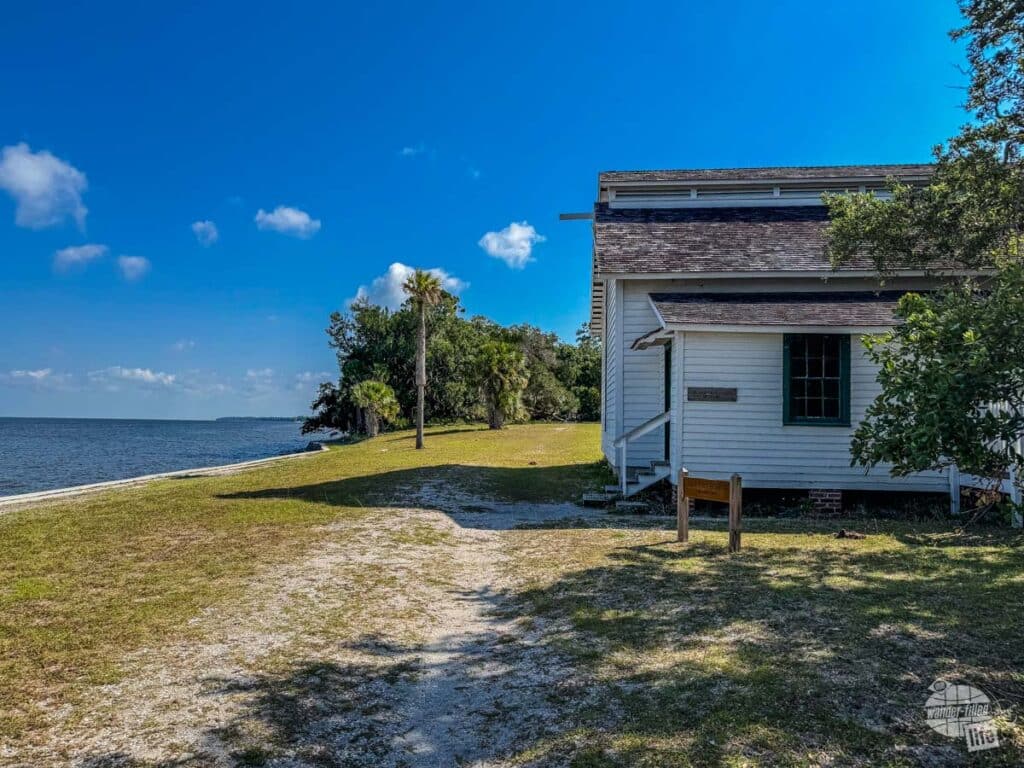
You will also find the Ice House Museum, which has a couple of exhibits on what life was like for the Carnegies on the island. The museum has restrooms, running water to fill up your water bottles and an air-conditioned cooling room for really hot days (like ours was!).
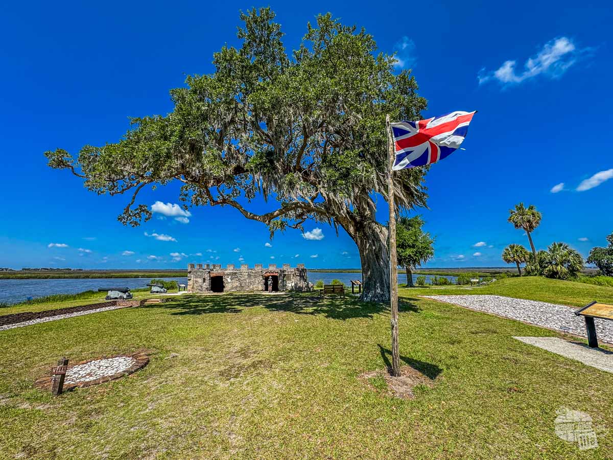
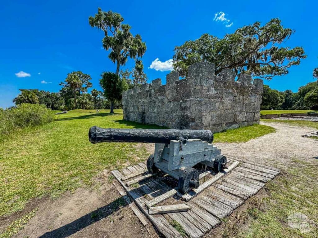
The Footsteps Tour to Dungeness
While you can walk to the ruins at Dungeness at any point, we chose to take the ranger-led tour. The park ranger met us at the Ice House Museum at 10 a.m. and we began a leisurely walk along the roads to the ruins.
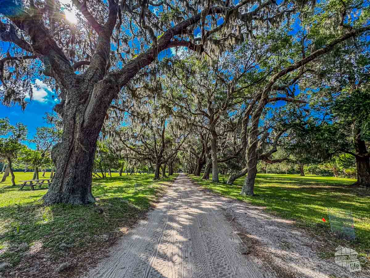
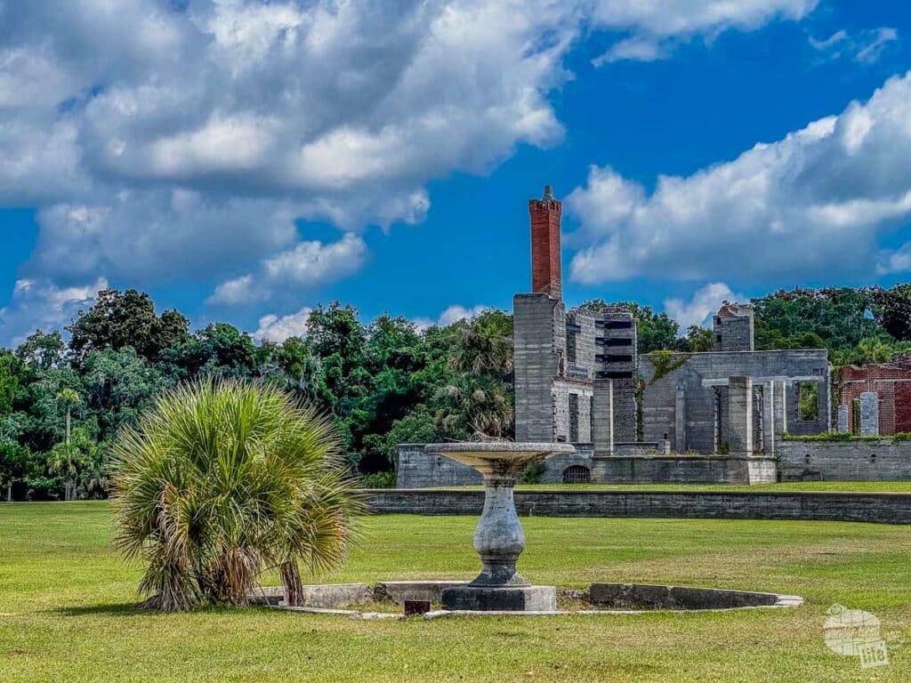
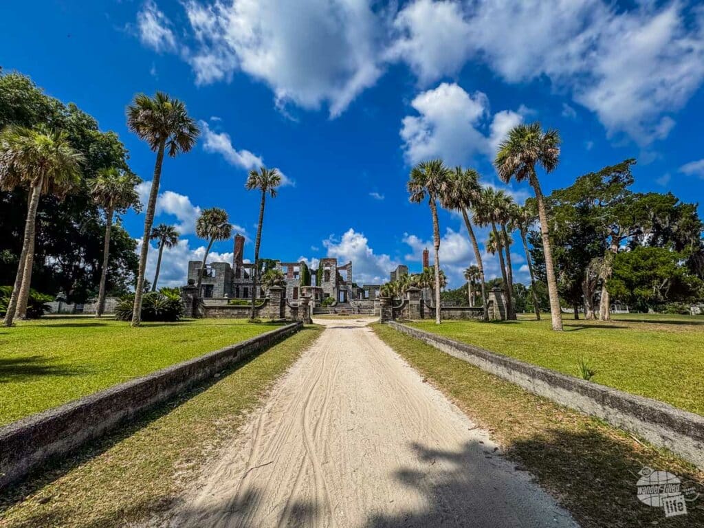
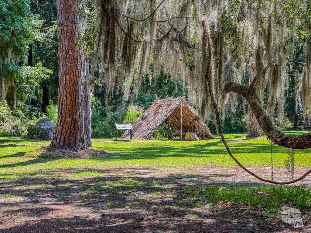
As we ambled beneath the live oak canopy, the ranger went into the history of the island, going back to the original human inhabitants, the Timucan, to the French, the Spanish, the British, and the American settlers all the way to the Carnegies.
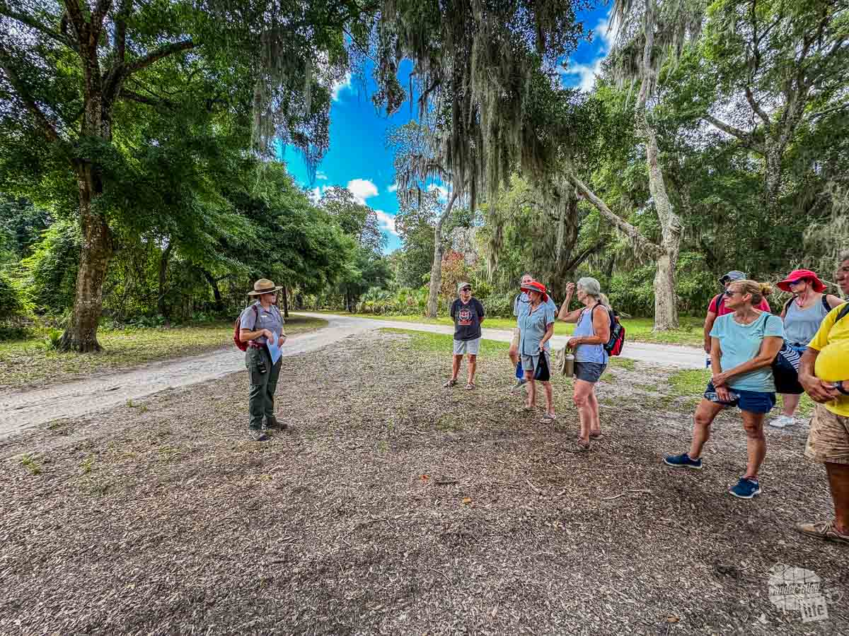
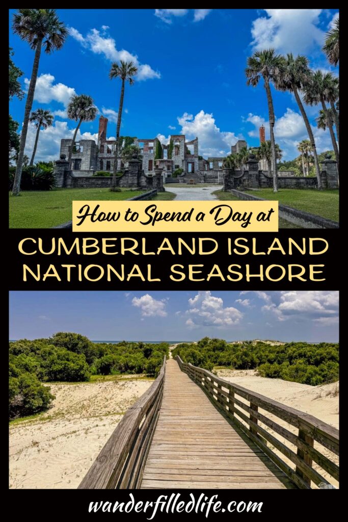
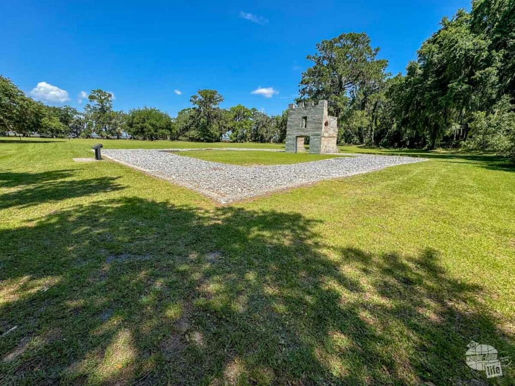
The tour ends at Dungeness, where the ranger went over the construction of the mansion and the local folk story of how the mansion burned (likely arson!) and how this wonderful space ended up as a national park.
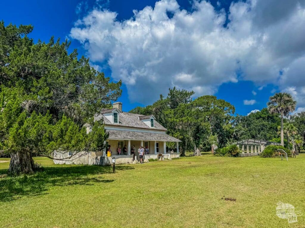
After the tour, the ranger headed over to the Tabby House, which was the overseer’s home, to answer questions, allowing visitors to learn more or walk the grounds of Dungeness. There are more informational signs around the grounds at Dungeness, so don’t miss out on walking around on your own.
We really enjoyed our tour and highly recommend it!
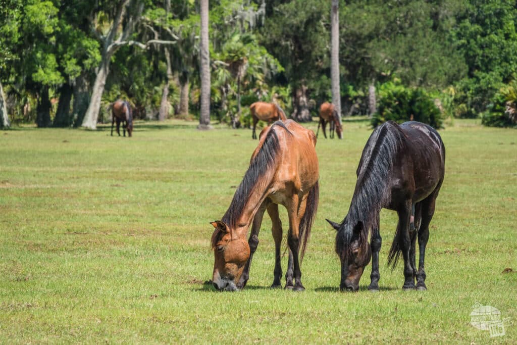


Since the area at Dungeness is wide open with plenty of grass, we also saw a lot of horses grazing here. The park ranger made a point to caution us that it was mating season and the males were a bit feisty. Indeed, we saw a pair of stallions ready to mix it up!
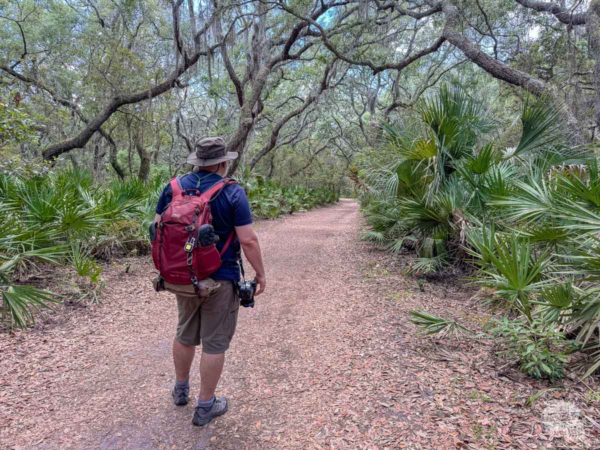
Walking the Roads and Trails of the Island
There are 50 miles of hiking trails and roads on Cumberland Island, making for plenty of opportunity to explore the island on foot. The difficulty of exploring it all on a day trip is you have to be back at the ferry dock for your departure.
With that in mind, the Park Service has the Southend Loop, a 4.5-mile loop that gives you the highlights of visiting Cumberland Island in one trail. Starting from Sea Camp Ranger Station, hike the River Trail south to Ice House Museum, then on to Dungeness. From Dungeness, hike through the dunes to the beach. Follow the beach north to Sea Camp and then turn inland back to Sea Camp.
Since the trail is a loop, you can also start at Ice House Museum if you get off at the first ferry stop. The Footsteps tour will take you to Dungeness and you can continue hiking from there.
It sounds like a great hike and we were really excited… right up until we spoke to a ranger about the hike. Basically, crossing the dune field at Dungeness Beach is completely exposed and quite hot in the summer. Since it was a very hot day when we visited, the rangers stressed that we should not hike out that way, especially considering they had to evacuate two people from this trail for heat-related illnesses the day before.
So, we decided to take the Main Road to the Parallel Trail Extension over to Sea Camp and walk out to the beach there.
Walking the Main Road is quite peaceful. Yes, every now and then, you might run into a vehicle (Park Service or one of the few private vehicles) or a bicycle but this is where the limit on the number of visitors really makes visiting Cumberland Island National Seashore special. You could easily spend your day just walking the roads without too much disruption and not get bored.
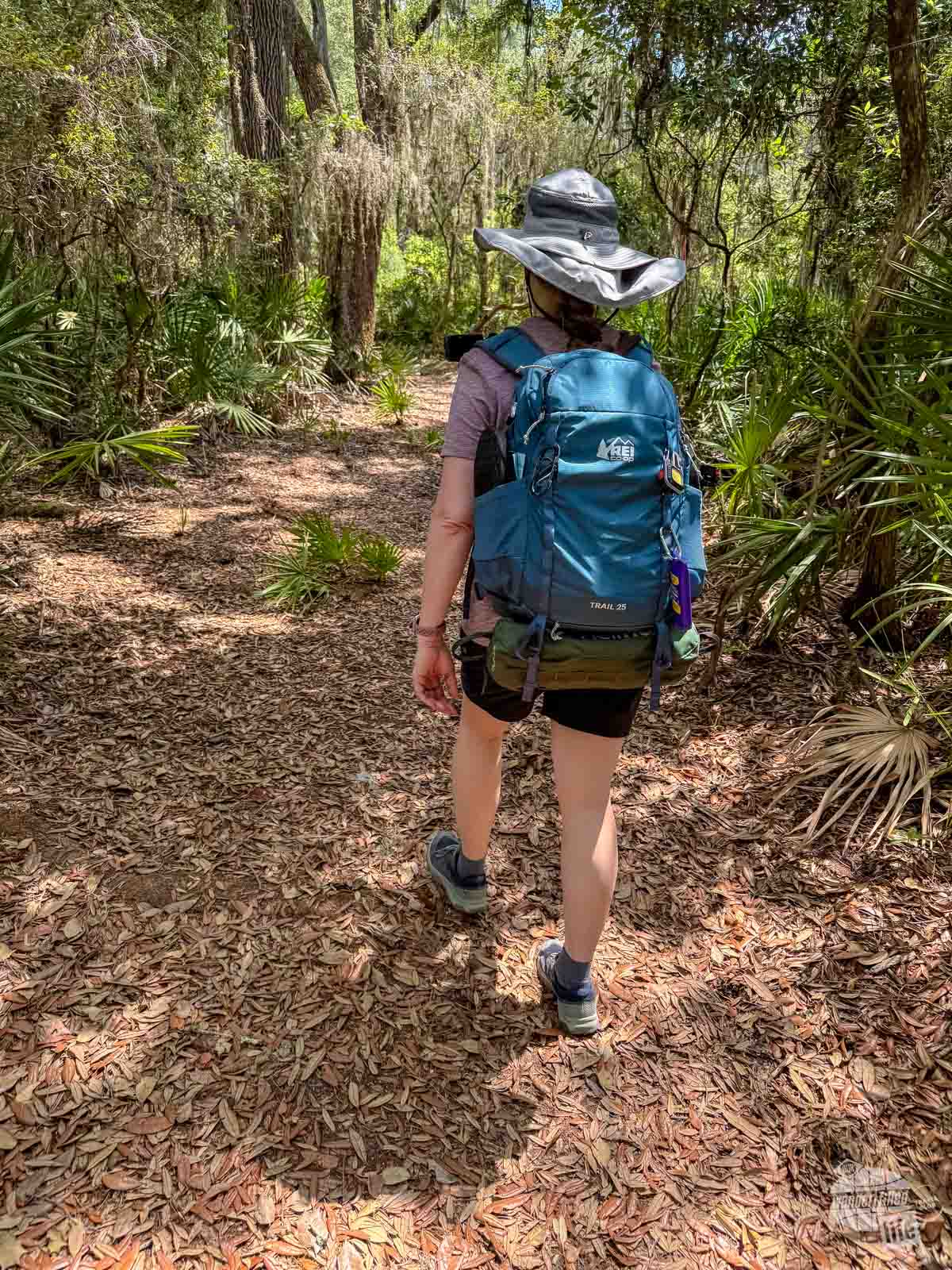
The Parallel Trail Extension is a brand new trail, not on the Park Service map, which splits off from the Main Road and heads toward Sea Camp. It is an easy 1.2-mile trail through the forest. We were obviously the first folks out on the trail on the day we hiked it as there were spider webs galore! But the trail was a great way to see the coastal forest from the inside.
We also hiked the River Trail from Sea Camp Ranger Station back to the Ice House Museum. This 0.8-mile trail is also quite easy and runs along the Intracoastal Waterway and is a great way to see more of the leeward side of the island.
Sea Camp Campground and Beach
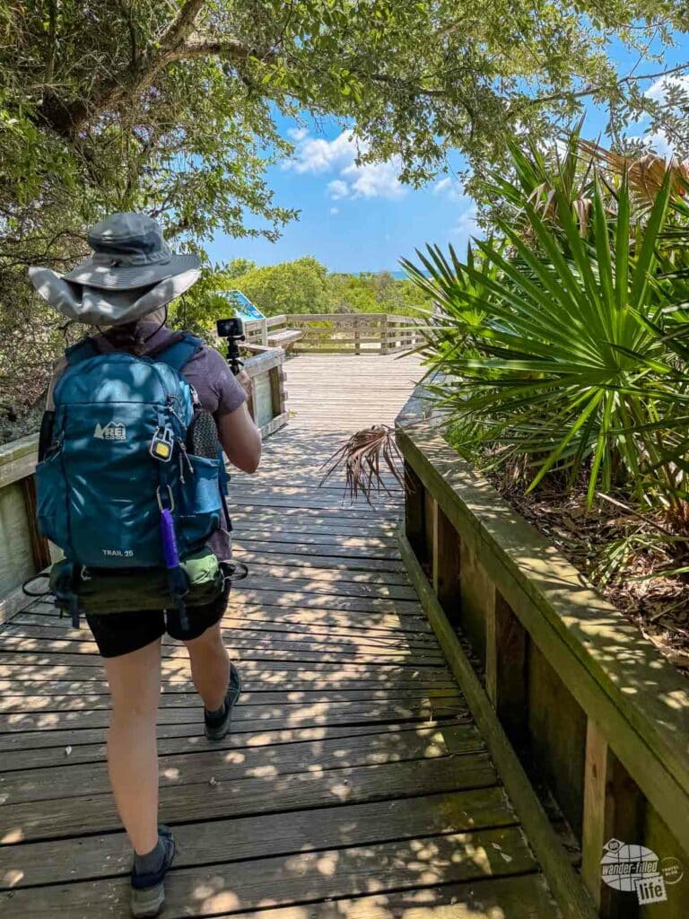
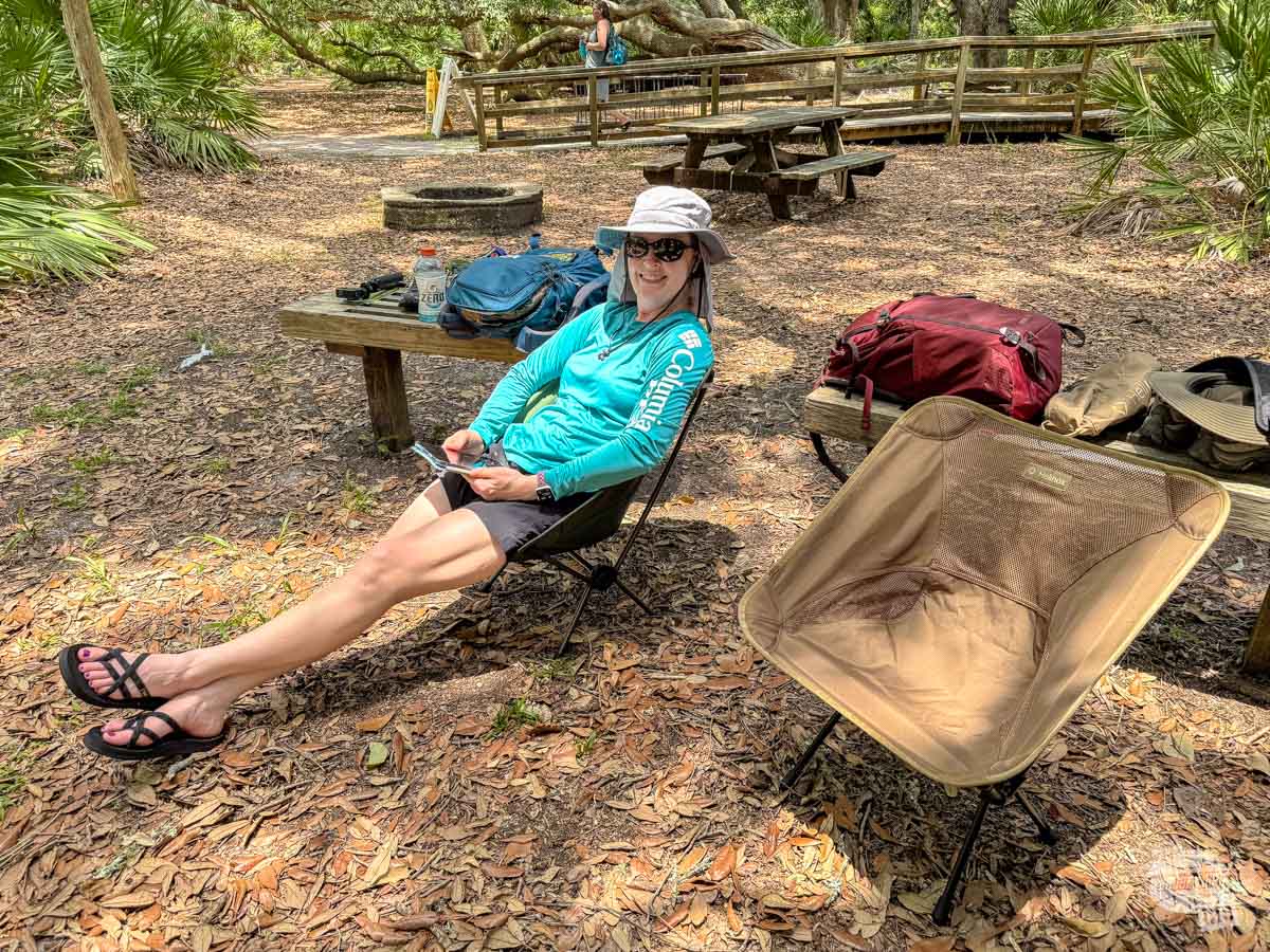
Sea Camp Campground is nestled in the trees just on the other side of the dunes from the beach. You will find bathrooms here, including cold water showers. You will also find picnic tables, making this a great place to stop for lunch.
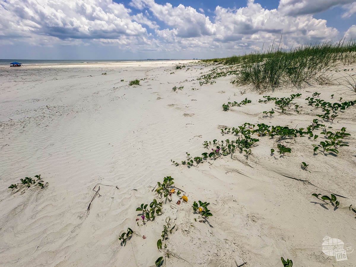
After lunch, we walked out to the beach. The boardwalk will get you most of the way through the dunes but you will walk in some loose sand (which can get very hot!) until you get to the actual beach.
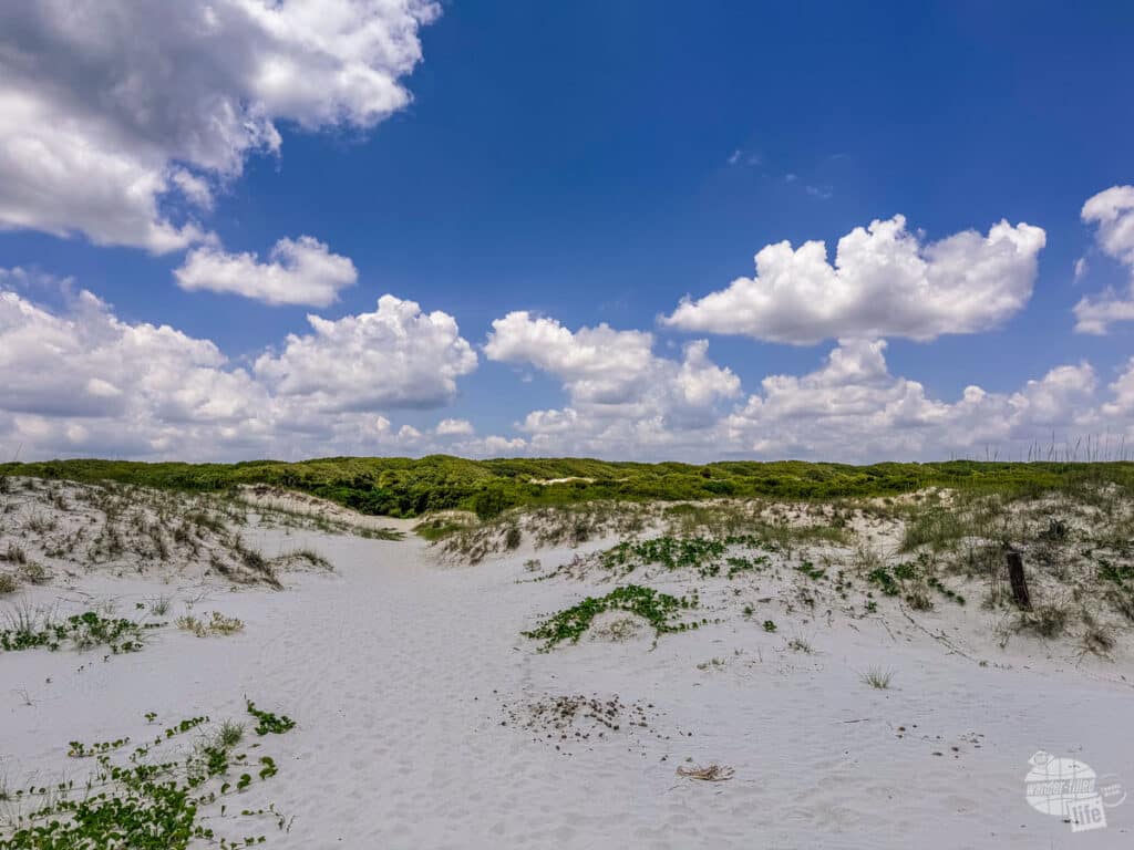
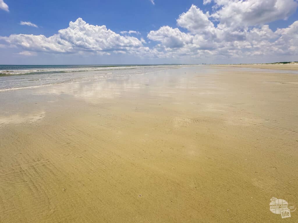
When we got out to the beach, we were surprised by how few people we saw… There were four families well spread out from each other and no one else as far as the eye could see. There was a cool breeze blowing in and if we had a sunshade, we would have spent the rest of the day hanging out on the beach.
Instead, we opted not to roast ourselves and found a comfy spot to set up our chairs underneath the live oak trees near Sea Camp Campground. The quiet and cool of the shade made for a relaxing afternoon.
As the time for our ferry drew closer, we walked back towards Sea Camp Ranger Station, checked out the ranger station, then took the River Trail back to the Ice House Museum to enjoy the cooling room and relax while waiting for the ferry.
This was a bit of a tactical error. The return ferry stops at Sea Camp first and then picks up at Ice House Museum. By the time we got on the ferry, there was very little room left in the air-conditioned cabin. Since we had been out in the heat most of the day, we wanted that air conditioning. Thankfully, we found a couple of seats, they just weren’t comfortable.
Pro tip: If it is a hot day, get on the ferry at Sea Camp Ranger Station to secure a spot inside on the ferry.
What About the Rest of the Island?
Our trip to Cumberland Island was focused on the southern end of the island. As such, we missed out on some really cool places on the island, like the mansion at Plum Orchard and The Settlement, which was an African American community.
The problem we faced getting to those locations is simply distance. If we had bicycles, we could have ridden further north to see those sites. Plum Orchard is a 14-mile round trip from Sea Camp Ranger Station, making it a bit too far for us to see in one day on foot. The Settlement is even further at a 28-mile round trip.
So, how does a visitor see these sites if they are only visiting for the day? The Lands and Legacies Tour takes a private van to explore the northern parts of the island. Perhaps we’ll do that tour on our next visit to Cumberland Island. You can also explore more if you bring a bicycle with you.
Where to Stay Near Cumberland Island National Seashore
We stayed at the Holiday Inn Express & Suites Kingsland while visiting Cumberland Island.
We found the hotel was quite comfortable and only about 15 minutes away from the visitor center in Saint Marys. We would certainly stay here again and recommend it. As a bonus, it is within walking distance from several restaurants.
Read Tripadvisor reviews and book the hotel.
Visiting the Other Coastal Georgia National Parks Sites: Fort Frederica and Fort Pulaski National Monuments
There are two other National Parks sites along the coast of Georgia: Fort Frederica National Monument on Jekyll Island and Fort Pulaski National Monument between Savannah and Tybee Island.
On this trip, we were doing a road trip along the coast of South Carolina and Georgia. In South Carolina, we visited both Charleston and Beaufort and explored those three National Parks sites there. Then we headed south to Georgia.
Read more about the Charleston area National Parks sites, including Fort Sumter, here.
Exploring Fort Frederica National Monument
On the way to Cumberland Island National Seashore, we stopped at Fort Frederica National Monument.
This site preserves the remains of the titular Fort Frederica, the third settlement in Georgia. Fort Frederica was both a military outpost and a planned town. It was founded by James Oglethorpe, the first governor of the Colony of Georgia.
A stop in the visitor center will help explain the significance of this settlement in the War of Jenkins’ Ear. Troops stationed at Fort Frederica played an important part in the battles of Bloody Marsh and Gully Hole Creek.
The fort was also home to around 500 colonists along with a planned community. Leaving the visitor center and walking the grounds of the fort, you will find mostly the foundations of various homes along the grid of the planned settlement.

As you get closer to the Frederica River, you will see the remains of the Kings Magazine, where ammunition would have been stored in the fortifications, along with a few cannons.
Visiting Fort Pulaski National Monument
We visited Fort Pulaski National Monument back in 2016 on a two-day visit to Savannah. Fort Pulaski is a coastal defense fort built to defend Savannah following the War of 1812. It is a masonry fort with two levels of cannons, surrounded by a moat.
The fort was seized by the Confederacy early in the Civil War and thought to be impenetrable. But, in April 1862, the Union forces brought in rifled artillery, which had a much longer range than the cannons at the fort. The Union Army blasted two holes in the fort’s walls, forcing the Confederate commander to surrender. This engagement demonstrated the vulnerability of the coastal defense forts and changed military tactics during the war.
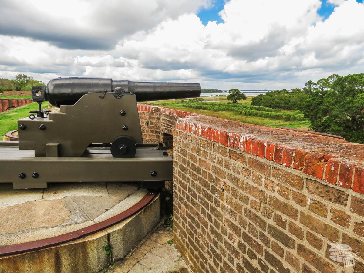
The visitor center has an excellent video on the battle for Fort Pulaski as well as exhibits on the impact of the battle on the Civil War. Then you can tour the fort and walk in the steps of those who fought here more than 160 years ago.
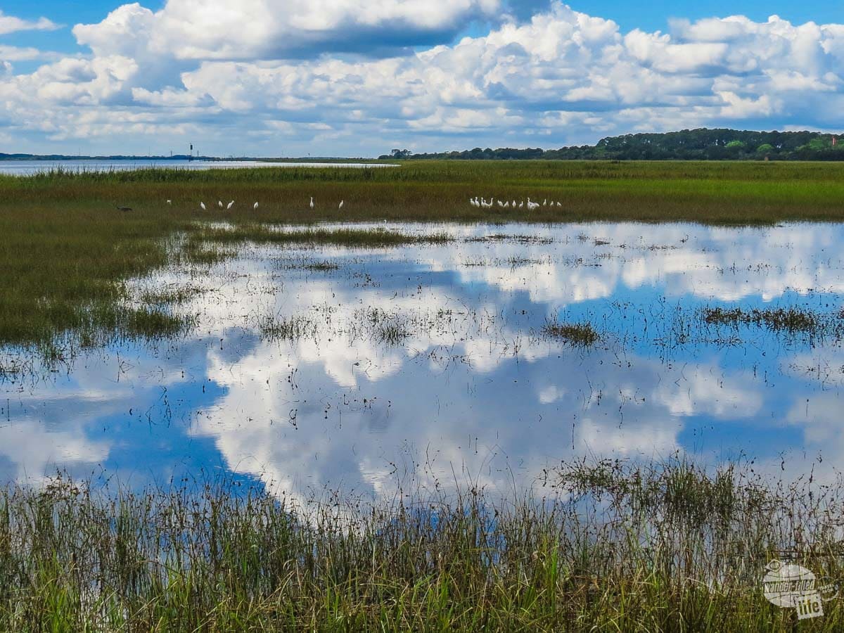
The park is more than just the fort, though. There are several trails as well as a boat ramp you can use to explore the coastal marshes on the south side of US 80.
Read more about our visit to Savannah here.
Final Thoughts on a Cumberland Island Day Trip
Cumberland Island National Seashore is truly a treasure. We only spent one day here and just got to see the southern end of the island and we are smitten. We already want to come back to spend more time here.
We can certainly see coming back with a tent and camping here for a few days. We know, at the very least, we want to come back with bicycles so we can get out to some of the sites at the north end of the island.
Still, even though we want to see and do more here, we feel like our one day was truly worth it and highly recommend a day trip to Cumberland Island.
Travel Resources
What do you use to find a flight?
We use Skyscanner to find deals on flights. Skyscanner has a great interface and compares tons of airlines for the best pricing and routing. That said, it does not always have every airline and some airlines will have better deals on their website. Still, Skyscanner is a great place to start.
Click here to search for a flight.
What do you use to find a hotel?
We typically stay at Hilton properties, so we use the Hilton website. You can find good Hilton Honors discounts or AAA discounts for a hotel there. We make great use of our free night certificates from our Hilton Honors American Express.
Click here to book a Hilton property.
If there are no Hilton properties available, we use TripAdvisor to read reviews and book the hotel. We find we can get the best price that way.
Click here to search for a hotel.
We recently partnered with Stay22 to add interactive maps to each of our destination posts. This will allow you to see a plethora of hotels and vacation rentals all in one responsive map of the area.
What if I need more space than I can get at a hotel?
We use Vrbo for the times when we have rented a cabin for a weekend getaway, like this cabin in Townsend, TN, or needed to rent a house for a large family vacation. We had a great experience with them in terms of refunding deposits when COVID hit and will continue to use them.
Click here to search for a vacation rental.
Who do you use for rental cars?
As a general rule, we book with Hertz for rental cars. We have had nothing but good experiences with them. Plus, we really like unlimited mileage and not worrying about crossing state lines. We have even rented from Hertz overseas in both Slovenia and Croatia.
Click here to book a rental car.
How about booking a cruise?
We have found some amazing prices for booking a cruise through Cruise Direct. We have saved a lot of money on our cruises compared to what we found elsewhere, making a last-minute Bahamas cruise even cheaper.
Click here to book a cruise.
What if I want to rent an RV?
We highly recommend Outdoorsy for RV rentals. We rented a camper van for a week to visit Rocky Mountain National Park for the elk rut and Custer State Park for the Buffalo Round-Up and had a blast. The program was easy to use and we really enjoyed the freedom of having a camper van for that trip.
Click here to rent an RV.
What do you use for booking tours?
We don’t often book tours. Typically, we like to do stuff on our own. That said, there are some experiences you can’t have any other way. So, when we do want to book a tour, we always check Viator first.
Click here to book a tour.
Do you use anything to get discounts on the road?
We make extensive use of both Good Sam and AAA on the road. Good Sam is normally regarded as a discount card for RVers at campgrounds and Camping World but anyone can use the 5 cents off a gallon at the pump at both Pilot and Flying J.
Click here to get a Good Sam membership.
We have had AAA as long as we have been married and it has more than paid for itself in discounts at hotels, aside from the peace of mind of having roadside assistance. Add in paper maps and the ability to get an international driver’s license and it is more than worth it for any traveler out there.
Click here to get a AAA membership.